Line © OpenStreetMap contributors (ODbL), checked by Global Adventurer.
The hike
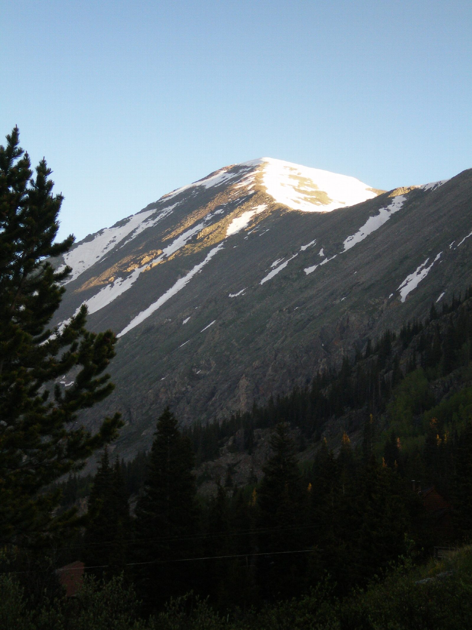
The walk starts at the Quandary Peak Trailhead lot off Colorado 9, south of Breckenridge. The trail climbs through forest and out above the trees onto the east ridge of Quandary Peak, then follows the ridge west over rocky ground. The last thousand feet are the steepest, up to the summit at 14,265 feet, the only peak over 14,000 feet in the Tenmile Range. Return the same way.
It is 6.4 miles (10.3 km) round trip with 3,190 feet (971 m) of climbing; allow about 6½ hours. The grade is Hard: a steep, sustained climb at very high altitude.
Above treeline the ridge has no shelter. Afternoon thunderstorms are common in summer: start at dawn, be off the summit by late morning, and turn back if clouds build. The air is thin at this height; headache and nausea are signs of altitude sickness, and the cure is to go down. Mountain goats are often seen near the top and are used to people: give them plenty of room. In autumn and winter, expect snow and ice on the ridge.
In summer (June 13 to September 13 in 2026), trailhead parking must be booked ahead, or you can take the shuttle from Breckenridge; at other times it is free, first come, first served. Parking on the nearby county roads is banned all year.
Route drawn by Global Adventurer along OpenStreetMap paths (© OpenStreetMap contributors, ODbL), with figures worked out from it. Check the forecast and the ground on the day: paths change.
Good to know
- The only 14er in the Tenmile Range, about 4,350 m, on a good trail most of the way
- In summer the trailhead car park must be booked ahead, or take the shuttle from Breckenridge
- Mountain goats are common near the top; start early to be down before afternoon storms
Summits on the way
- Quandary Peak 14,272 ft (4,350 m)
Getting there
Start: Quandary Peak Trailhead · Free parking. 39.38489, -106.06167
Places to stay nearby
Rooms in and around Colorado Rockies: Booking.com → Expedia →
Affiliate links: if you book, Global Adventurer earns a small commission at no cost to you.
Paths change, and the weather decides the day. The line and figures come from OpenStreetMap and our own checks; take a map, check the forecast, and turn back if it isn't right.

