Line © OpenStreetMap contributors (ODbL), checked by Global Adventurer.
The hike
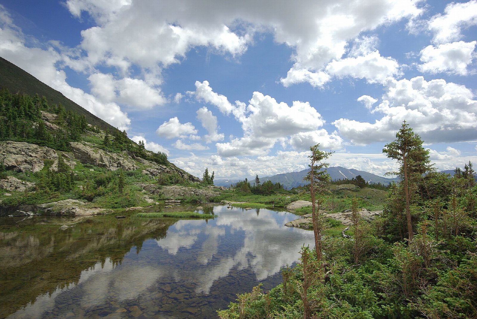
The walk starts at the Spruce Creek Trailhead, about a mile up Spruce Creek Road from Highway 9, south of Breckenridge. The Spruce Creek Trail climbs through forest, crosses the creek and briefly follows a four-wheel-drive road past a small dam. It then climbs past Continental Falls and the ruins of an old mine, with cabins and machinery, to Lower Mohawk Lake, and a short, steep climb leads on to Mohawk Lake, at about 12,100 feet. Return the same way.
It is 6.3 miles (10.1 km) round trip with 1,670 feet (509 m) of climbing; allow about 4 hours. The grade is Moderate: a steady climb that steepens above Continental Falls, all of it at high altitude.
The lakes are at and above tree line: summer thunderstorms build quickly, so start early and turn back if storms threaten. Keep out of the old mine shafts and tunnels, which are dangerous.
A rough road continues to an upper trailhead for high-clearance vehicles, which shortens the walk.
Route drawn by Global Adventurer along OpenStreetMap paths (© OpenStreetMap contributors, ODbL), with figures worked out from it. Check the forecast and the ground on the day: paths change.
Good to know
- Past Continental Falls and old mining cabins to two lakes in a high basin of the Tenmile Range
- Starts just south of Breckenridge; the upper trailhead needs a high-clearance vehicle
- The upper lake is at about 3,690 m, above the trees: turn back if storms build
Getting there
Start: Spruce Creek Trailhead. 39.43709, -106.05067
Places to stay nearby
Rooms in and around Colorado Rockies: Booking.com → Expedia →
Affiliate links: if you book, Global Adventurer earns a small commission at no cost to you.
Paths change, and the weather decides the day. The line and figures come from OpenStreetMap and our own checks; take a map, check the forecast, and turn back if it isn't right.


