Line © OpenStreetMap contributors (ODbL), checked by Global Adventurer.
The hike
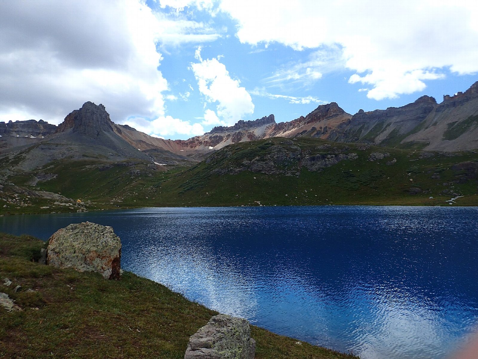
The walk starts at the Ice Lake Trailhead parking lot on South Mineral Road (Forest Road 585), opposite South Mineral Campground and 4.4 miles off US 550 west of Silverton. The Ice Lake Trail climbs through aspen and conifer forest into Lower Ice Lake Basin, then up a steep, rocky section to the upper basin and Ice Lake, at about 12,260 feet in a bowl of high peaks. Return the same way.
It is 6.9 miles (11.1 km) round trip with 2,410 feet (735 m) of climbing; allow about 5½ hours. The grade is Moderate: a steady climb on a good trail, but at high altitude, with a steep, rocky pitch below the upper basin.
Ice Lake is above tree line, and lightning is a real danger in the July and August monsoon: start early and head down if storms build. Altitude sickness is a risk above 12,000 feet, and some creek crossings may mean wet feet. There is no permit system at present. Dogs must be on a leash or under voice control, and overnight parking at the trailhead is not allowed.
The trailhead lot fills very quickly in summer. South Mineral Road is not plowed in winter.
Route drawn by Global Adventurer along OpenStreetMap paths (© OpenStreetMap contributors, ODbL), with figures worked out from it. Check the forecast and the ground on the day: paths change.
Good to know
- Two high basins of wildflowers, the upper one holding the startlingly blue Ice Lake
- Starts by South Mineral Campground, west of Silverton up a dirt road
- Ice Lake is at about 3,700 m, above the trees: expect lightning on summer afternoons
Getting there
Start: Ice Lake Trailhead. 37.80638, -107.77371
Places to stay nearby
Rooms in and around Colorado Rockies: Booking.com → Expedia →
Affiliate links: if you book, Global Adventurer earns a small commission at no cost to you.
Paths change, and the weather decides the day. The line and figures come from OpenStreetMap and our own checks; take a map, check the forecast, and turn back if it isn't right.


