Line © OpenStreetMap contributors (ODbL), checked by Global Adventurer.
The hike
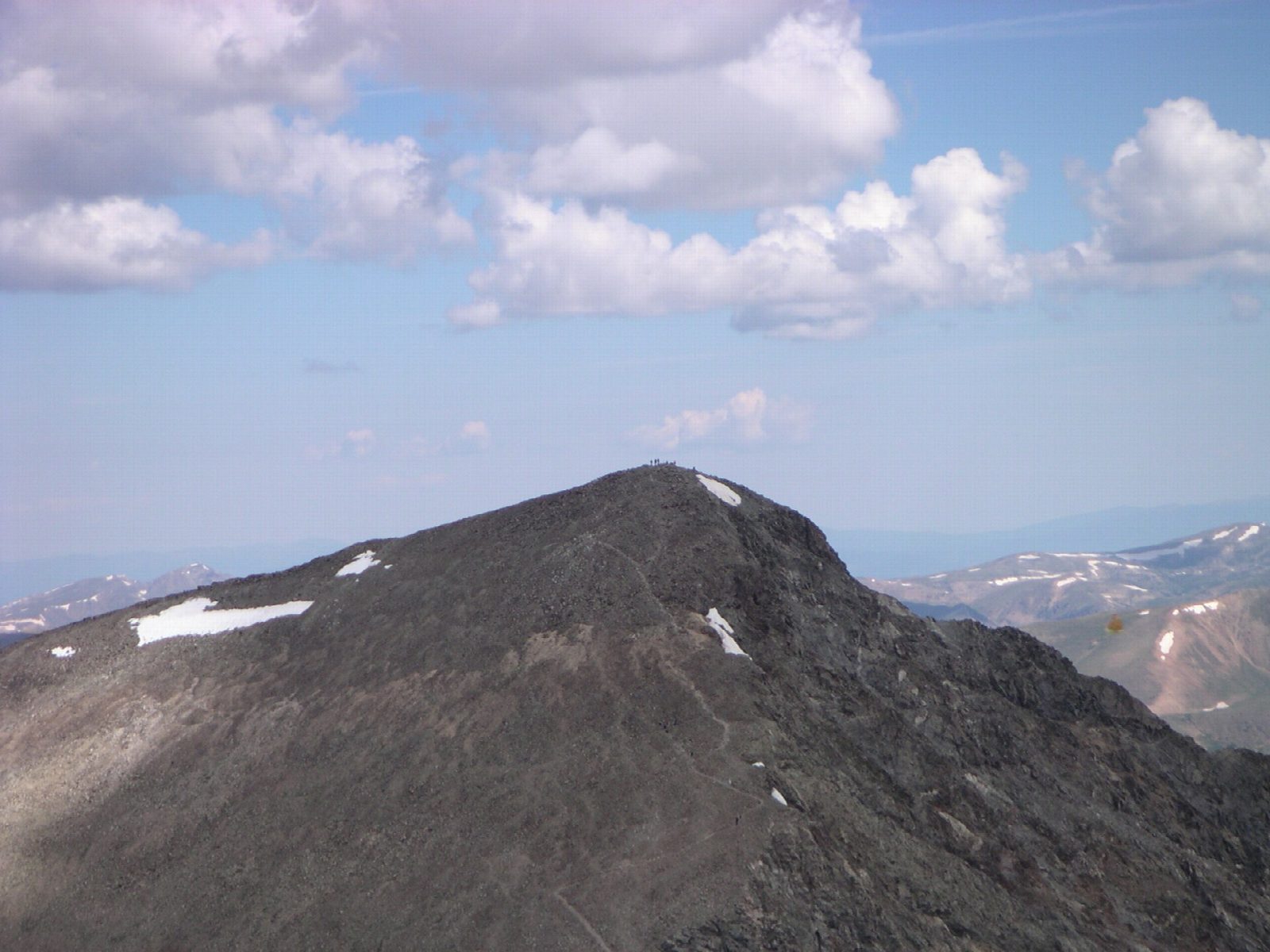
The walk starts at the Grays Peak Trailhead at the top of Stevens Gulch Road, about 3 miles of rough dirt road from the Bakerville exit (221) on I-70. The trail climbs the long valley of Stevens Gulch to Grays Peak, at 14,270 feet the highest point on the Continental Divide. From the top, drop to the saddle at about 13,700 feet and climb Torreys Peak, at 14,267 feet. Go back down to the saddle, take the trail that descends on the Grays side to rejoin the main trail at about 13,200 feet, and follow it back down the gulch.
The loop is 7.9 miles (12.7 km) with 3,290 feet (1,002 m) of climbing; allow about 7 hours. The grade is Hard: a long, steep day, all of it above 11,000 feet.
Almost all of the route is above treeline, with no shelter. Afternoon thunderstorms are common in summer: start at dawn, be heading down by late morning, and leave out Torreys if clouds are building. Headache and nausea are signs of altitude sickness; the cure is to go down. In autumn and winter, expect snow and ice high up.
The upper lot is small and fills very early on summer weekends, and cars parked along the road are ticketed; if it is full, park near the exit and walk up, adding about 6 miles. A high-clearance vehicle is recommended.
Route drawn by Global Adventurer along OpenStreetMap paths (© OpenStreetMap contributors, ODbL), with figures worked out from it. Check the forecast and the ground on the day: paths change.
Good to know
- Two 14ers in a day: Grays Peak is the highest point on the Continental Divide
- The dirt road up Stevens Gulch is rough; if the upper lot is full, park at the I-70 exit
- Above the trees for most of the way: set off early, before summer storms bring lightning
Summits on the way
- Grays Peak 14,272 ft (4,350 m)
- Torreys Peak 14,268 ft (4,349 m)
Getting there
Start: Grays Peak Trailhead. 39.66110, -105.78424
Places to stay nearby
Rooms in and around Colorado Rockies: Booking.com → Expedia →
Affiliate links: if you book, Global Adventurer earns a small commission at no cost to you.
Paths change, and the weather decides the day. The line and figures come from OpenStreetMap and our own checks; take a map, check the forecast, and turn back if it isn't right.

