Line © OpenStreetMap contributors (ODbL), checked by Global Adventurer.
The hike
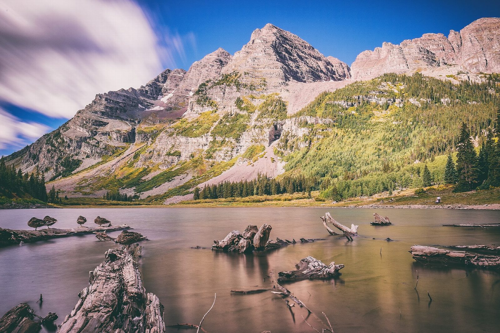
The walk starts at the Maroon Lake day-use parking lot and shuttle stop at the end of Maroon Creek Road, about 10 miles from Aspen. The trail runs along the north side of Maroon Lake, then climbs through aspen and conifer woods and across a boulder field to Crater Lake, which sits right beneath the Maroon Bells. Return the same way.
It is 4.1 miles (6.6 km) round trip with 600 feet (184 m) of climbing; allow about 2 hours. The grade is Easy: a short climb, though the trail is rocky and starts at 9,580 feet.
From May 22 to October 18, 2026, private cars may not drive up between 8 a.m. and 5 p.m., and most visitors ride the shuttle bus from Aspen Highlands, which must be booked ($16 for adults). Driving up needs a $10 parking reservation from May 15 to October 31. Afternoon thunderstorms are common in summer, so start early. Dogs must be on a leash.
After October 31, the road stays open until snow makes it impassable; in winter it is not plowed beyond T-Lazy-7 Ranch.
Route drawn by Global Adventurer along OpenStreetMap paths (© OpenStreetMap contributors, ODbL), with figures worked out from it. Check the forecast and the ground on the day: paths change.
Good to know
- Beneath the Maroon Bells, among the most photographed mountains in North America
- In summer Maroon Creek Road is for booked cars and shuttle buses from Aspen Highlands only
- The Bells' loose, crumbling rock earned them the name the Deadly Bells; the trail stays below
Getting there
Start: Maroon Lake. 39.09882, -106.93965
Places to stay nearby
Rooms in and around Colorado Rockies: Booking.com → Expedia →
Affiliate links: if you book, Global Adventurer earns a small commission at no cost to you.
Paths change, and the weather decides the day. The line and figures come from OpenStreetMap and our own checks; take a map, check the forecast, and turn back if it isn't right.


