Line © OpenStreetMap contributors (ODbL), checked by Global Adventurer.
The walk
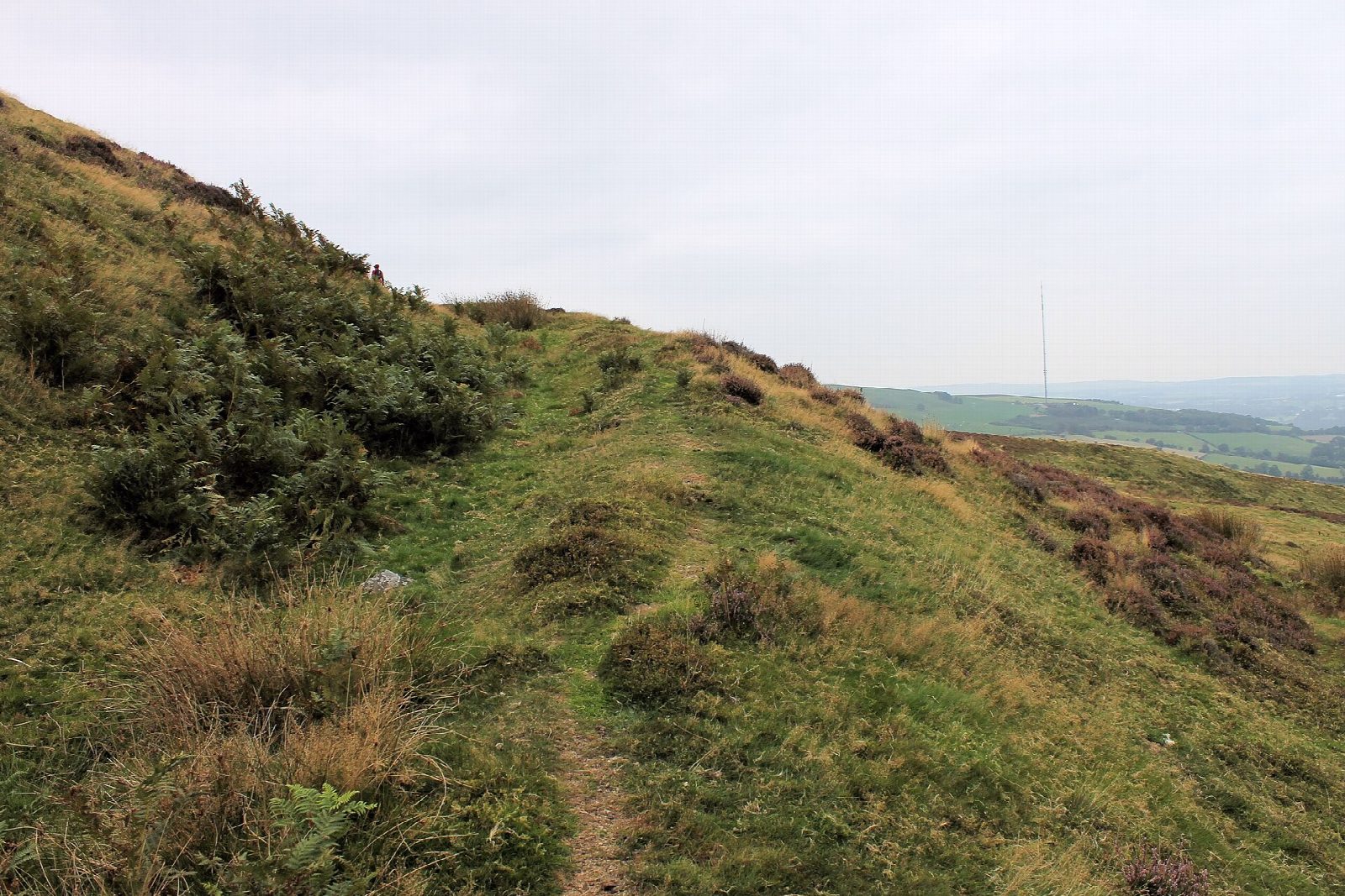
The walk starts from the Coed Llangwyfan car park, at the top of the road over the Clwydian Range. Take the Offa's Dyke Path north-west, marked with acorns, up the edge of the forest. Where the paths divide, keep to the lower one on the left along the flank of the hill, which climbs to the ramparts of the hillfort at its southern end. Walk on through the fort, between its banks and ditches, to the cairn on the summit of Penycloddiau at 440 m. Return along the crest on the Offa's Dyke Path, down through the ramparts and the forest edge to the car park.
It is 3.7 km with 169 m of ascent; allow about 1½ hours. The grade is Easy.
The path is clear and grassy, steep for a short way below the fort. The top is open and windy, with a view across the Vale of Clwyd to Eryri. On the open hill dogs must be on a short lead from 1 March to 31 July, and near sheep at any time. The fort covers the whole hilltop and was built about 2,500 years ago.
Parking is free, with no facilities. There is no public transport.
Route drawn by Global Adventurer along OpenStreetMap paths (© OpenStreetMap contributors, ODbL), with figures worked out from it. Check the forecast and the ground on the day: paths change.
Good to know
- Penycloddiau, 440 m, is one of the largest hillforts in Wales
- Its ramparts were built about 2,500 years ago
- The Offa's Dyke Path runs the length of the fort
- Bronze Age stone tools 4,000 years old were found here in 2017
Summits on the way
- Penycloddiau 440 m
Getting there
Start: Coed Llangwyfan car park · Free parking. 53.19178, -3.29030
Places to stay nearby
Rooms in and around Flint: Booking.com → Expedia →
Affiliate links: if you book, Global Adventurer earns a small commission at no cost to you.
Paths change, and the weather decides the day. The line and figures come from OpenStreetMap and our own checks; take a map, check the forecast, and turn back if it isn't right.