Line © OpenStreetMap contributors (ODbL), checked by Global Adventurer.
The walk
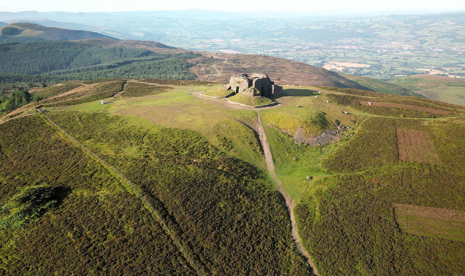
The walk starts from the car park at Bwlch Penbarras and goes out and back to Moel Famau (555 m), the highest of the Clwydian Range, on the Offa's Dyke Path. It is on broad track almost all the way, climbing steadily over the open hill to the Jubilee Tower on the summit, begun in 1810 for George III's golden jubilee and never finished. The views stretch across the Vale of Clwyd to Eryri and over the Dee to Liverpool.
It is 4.4 km with 278 m of ascent; allow about 2 hours. The grade is Easy: a steady climb on a wide, clear track, with no steep or rough ground.
The top is exposed and can be much colder and windier than the car park, so take a warm layer. The track is easy to follow in cloud, and in winter it can be icy.
The Bwlch Penbarras car park charges a fee. Penyffordd station is about 12½ km away in a straight line. There are no mapped water sources on the route.
Route drawn by Global Adventurer along OpenStreetMap paths (© OpenStreetMap contributors, ODbL), with figures worked out from it. Check the forecast and the ground on the day: paths change.
Good to know
- The highest of the Clwydian Range, on the Offa's Dyke Path
- The Jubilee Tower on top was begun in 1810 for George III's golden jubilee and never finished
- Views across the Vale of Clwyd to Eryri and over the Dee to Liverpool
Summits on the way
- Moel Famau 555 m
Getting there
Start: Bwlch Penbarras · Pay and display. 53.14092, -3.24236
Places to stay nearby
Rooms in and around Penyffordd: Booking.com → Expedia →
Affiliate links: if you book, Global Adventurer earns a small commission at no cost to you.
Paths change, and the weather decides the day. The line and figures come from OpenStreetMap and our own checks; take a map, check the forecast, and turn back if it isn't right.