Line © OpenStreetMap contributors (ODbL), checked by Global Adventurer.
The walk
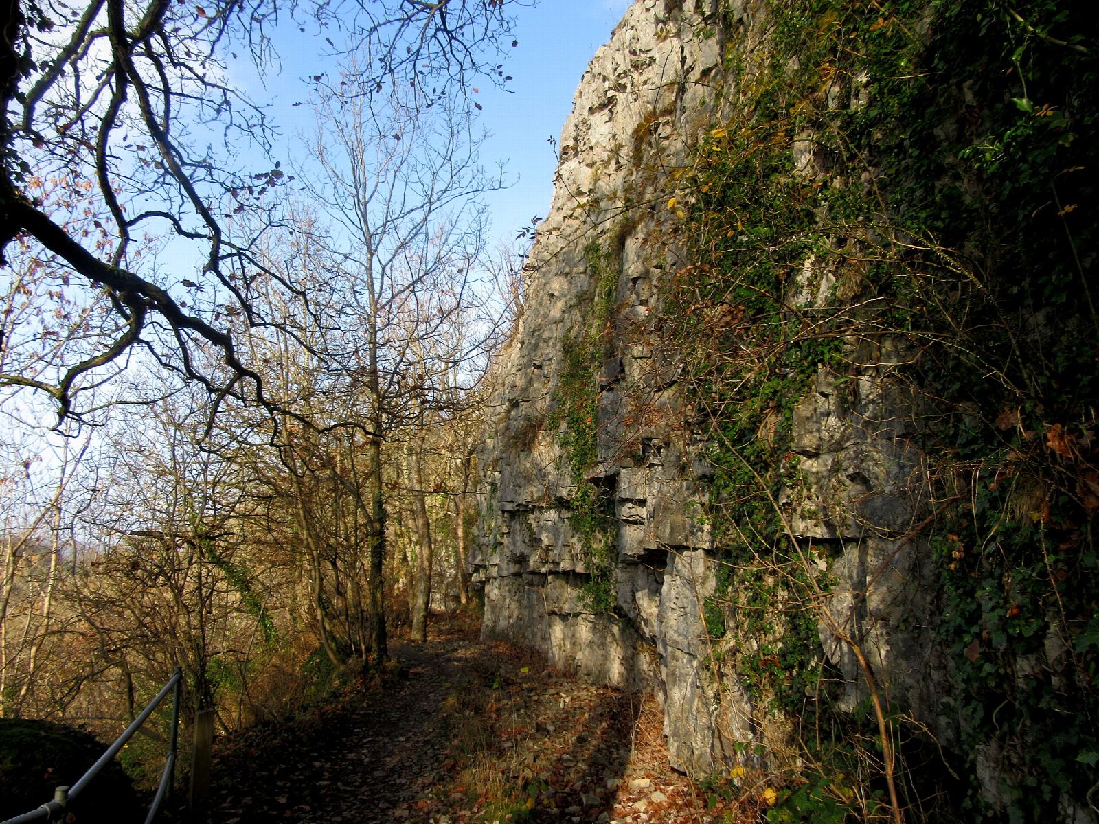
The walk starts from the car park at Loggerheads Country Park, on the A494 west of Mold. From the visitor centre cross the Afon Alun, pass the old mill and join the Leete Path, which runs north along the east side of the valley. It follows a leat dug in the 1820s to carry water to the lead mines downstream, level all the way, through woods on the side of the limestone gorge with the river below. On the way it passes the Devil's Gorge, a cleft with limestone walls 30 m high. The walk goes on to the end of the path, where it meets a lane, and returns the same way.
It is 7.0 km with 49 m of ascent; allow about 2 hours. The grade is Easy.
The path is level but narrow in places, with drops into the gorge on one side, and muddy after rain: keep children and dogs close. The first half-mile from the centre is surfaced. The valley was mined for lead, and old workings should be left alone.
The car park is pay and display, open 8am to 9pm from April to October and 8am to 6pm in winter. The park has toilets and, during building work, temporary refreshments. Buses stop on the A494 opposite the entrance.
Route drawn by Global Adventurer along OpenStreetMap paths (© OpenStreetMap contributors, ODbL), with figures worked out from it. Check the forecast and the ground on the day: paths change.
Good to know
- The Leete Path follows a leat dug in the 1820s to carry water to the lead mines down the valley
- The Afon Alun runs through a wooded limestone gorge
- The Devil's Gorge has limestone walls 30 m high
- Pentre Mill, a corn mill of the early nineteenth century, stands in the park
- The name Loggerheads is said to come from a boundary dispute between two lordships
Getting there
Start: Loggerheads Country Park · Pay and display. 53.15473, -3.20120
Places to stay nearby
Rooms in and around Buckley: Booking.com → Expedia →
Affiliate links: if you book, Global Adventurer earns a small commission at no cost to you.
Paths change, and the weather decides the day. The line and figures come from OpenStreetMap and our own checks; take a map, check the forecast, and turn back if it isn't right.