Line © OpenStreetMap contributors (ODbL), checked by Global Adventurer.
The walk
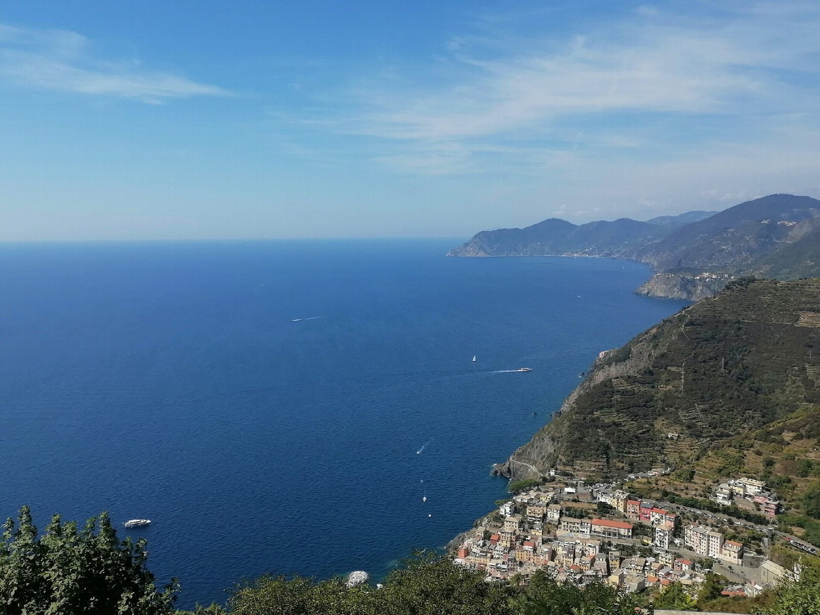
From the car park on the road above Riomaggiore, walk down through the village to its little harbour. Path 593V climbs out past the cemetery and up long flights of steps through the terraces, follows the road for about 200 m by the shrine of the Madonna della Cintola, and takes steps again up to the sanctuary of Nostra Signora di Montenero, at about 340 m, on its terrace above the sea. Return the same way to Riomaggiore and the car park.
It is 4 km there and back with 306 m of ascent; allow about 2 hours. The grade is Easy: short, but steep and stepped almost all the way.
The park grades the path for hikers and gives 55 minutes up and 30 minutes down from the harbour. No Cinque Terre Card is needed: the park's card page lists only the coastal path and the Via dell'Amore as paid paths. Path 593, which goes on from the sanctuary towards the Telegrafo, is partly closed. The park closes all its paths under an orange weather alert.
Trains stop at Riomaggiore, a short walk from the harbour. The Via dell'Amore from Riomaggiore to Manarola reopened in 2024; it is one way only, needs a booked time slot and a Cinque Terre Card, and in 2026 ran until 24 October from 9:00 to 21:00, then 9:00 to 18:00.
Route drawn by Global Adventurer along OpenStreetMap paths (© OpenStreetMap contributors, ODbL), with figures worked out from it. Check the forecast and the ground on the day: paths change.
Good to know
- A steep climb by steps and terraces from Riomaggiore's harbour to a sanctuary at 340 m
- Past the cemetery, up long flights of steps and a short stretch of road by the shrine of the Madonna della Cintola
- Path 593V; the park grades it a hiking path
- Trains stop at Riomaggiore
Getting there
Start: Riomaggiore car park. 44.09866, 9.74088
By train: Riomaggiore station is 0.4 km from the start.
Places to stay nearby
Rooms in and around Riomaggiore: Booking.com → Expedia →
Affiliate links: if you book, Global Adventurer earns a small commission at no cost to you.
Paths change, and the weather decides the day. The line and figures come from OpenStreetMap and our own checks; take a map, check the forecast, and turn back if it isn't right.