Line © OpenStreetMap contributors (ODbL), checked by Global Adventurer.
The walk
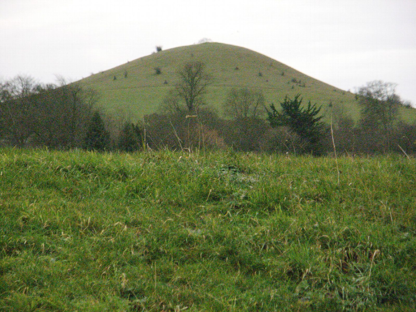
From the National Trust car park the walk goes out to the Boer War monument on Coombe Hill, one of the highest viewpoints in the Chilterns, with the Vale of Aylesbury below. It drops down the scarp and crosses the fields to Ellesborough church, then climbs over the steep little dome of Beacon Hill and along the edge of Ellesborough Warren. Beyond Great Kimble Warren it reaches the wooded Iron Age fort on Pulpit Hill, then turns east through Maple Wood, south of Chequers, the Prime Minister's country house, and back north to the car park.
It is 8.1 km with 225 m of ascent; allow about 2½ hours. The grade is Easy. There are several steep climbs and descents on the chalk.
The chalk is slippery after rain. Sheep and cattle graze Coombe Hill and the downs, so keep dogs on leads. The Chequers estate is private: keep to the public paths.
The Coombe Hill car park is a free National Trust car park off Lodge Hill. The nearest station is Wendover, about 2 km away.
Route drawn by Global Adventurer along OpenStreetMap paths (© OpenStreetMap contributors, ODbL), with figures worked out from it. Check the forecast and the ground on the day: paths change.
Good to know
- Coombe Hill's Boer War monument, on one of the highest viewpoints in the Chilterns
- Down the scarp to Ellesborough church and over Beacon Hill
- Past Pulpit Hill's Iron Age fort and south of Chequers, the Prime Minister's country house
- Sheep and cattle graze the chalk grassland
Summits on the way
- Coombe Hill 260 m · passed close by
- Beacon Hill 230 m · passed close by
Getting there
Start: Coombe Hill car park · Free parking. 51.74853, -0.76772
By train: Wendover station is 2.0 km from the start.
Places to stay nearby
Rooms in and around Wendover: Booking.com → Expedia →
Affiliate links: if you book, Global Adventurer earns a small commission at no cost to you.
Paths change, and the weather decides the day. The line and figures come from OpenStreetMap and our own checks; take a map, check the forecast, and turn back if it isn't right.