Line © OpenStreetMap contributors (ODbL), checked by Global Adventurer.
The walk
From the car park just below the Col des Montets, walk up to the chalet of the Réserve naturelle des Aiguilles Rouges and take the reserve's path west. It climbs steadily in zigzags across the open slope, with the Aiguille Verte and the Argentière glacier across the valley, then traverses south over rock and alpine grass to the Lacs des Chéserys, a string of small lakes under Lac Blanc. Return the same way. This way up avoids the long ladders on the path from Tré-le-Champ by the Tête aux Vents.
It is 8.8 km there and back with 721 m of ascent; allow about 5 hours. The grade is Moderate: a long, steady climb on a well-made mountain path, stony near the lakes.
The town gives the lakes' season as mid-May to the end of October, snow permitting; carry warm clothes, as the slope is open to the weather. Dogs are not allowed in the nature reserve, and swimming in the Chéserys lakes is banned by prefectoral order.
The free car park is on the road between Argentière and Vallorcine; Chamonix buses stop at the Col des Montets.
Route drawn by Global Adventurer along OpenStreetMap paths (© OpenStreetMap contributors, ODbL), with figures worked out from it. Check the forecast and the ground on the day: paths change.
Good to know
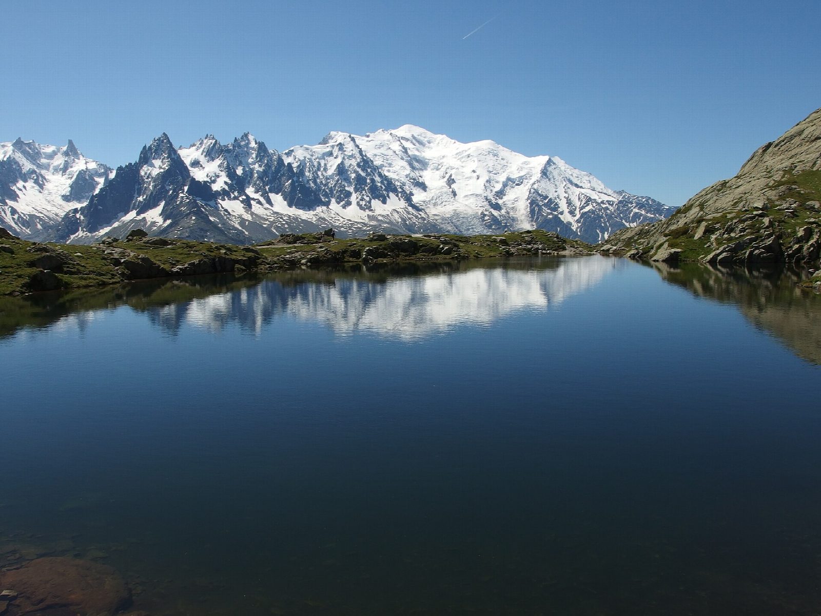
- A string of small lakes under Lac Blanc, in the Réserve naturelle des Aiguilles Rouges, facing the Mont Blanc range
- This way up climbs from the Col des Montets on the reserve's path and avoids the ladders on the path from Tré-le-Champ
- Dogs are not allowed in the nature reserve; swimming in the Chéserys lakes is banned by prefectoral order
- The town gives the lakes' season as mid-May to the end of October, snow permitting
Getting there
Start: Col des Montets car park. 45.99896, 6.92421
By train: Le Buet station is 2.3 km from the start.
Places to stay nearby
Rooms in and around Le Buet: Booking.com → Expedia →
Affiliate links: if you book, Global Adventurer earns a small commission at no cost to you.
Paths change, and the weather decides the day. The line and figures come from OpenStreetMap and our own checks; take a map, check the forecast, and turn back if it isn't right.