Line © OpenStreetMap contributors (ODbL), checked by Global Adventurer.
The walk
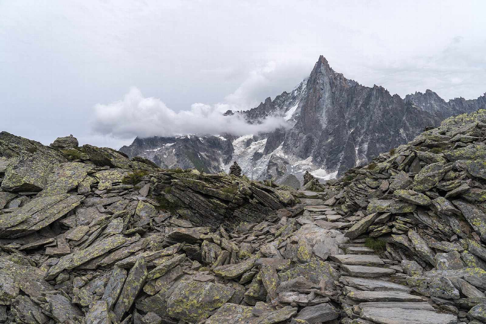
From the Plan de l'Aiguille, the mid-station of the Aiguille du Midi cable car at 2,310 m, walk to the Refuge du Plan de l'Aiguille and then along the slope across the moraines of the Blaitière and Nantillons glaciers and the Grépon torrent. Below the Aiguilles the path keeps a balcony line high above Chamonix, then climbs to the viewpoint of the Signal Forbes, at about 2,198 m, which looks over the Mer de Glace to the Grandes Jorasses. A short descent leads to Montenvers, at 1,913 m, and the rack railway back to Chamonix.
It is 6.9 km one way with 112 m of ascent and 500 m of descent; allow about 2½ hours. The grade is Easy: a rough mountain path, mostly level or downhill, with boulder ground on the moraines.
At about 2,071 m a steep shortcut leaves the main path; the tourist office warns that its gullies are dangerous in snow, so stay on the path by the Signal Forbes. Both lifts are needed. In 2026 they run until 1 November; the cable car is then closed until 18 December and the train until 4 December. The path itself is a summer route and can hold snow from late autumn into June.
Take the Aiguille du Midi cable car from Chamonix to the Plan de l'Aiguille, and the Montenvers train back.
Route drawn by Global Adventurer along OpenStreetMap paths (© OpenStreetMap contributors, ODbL), with figures worked out from it. Check the forecast and the ground on the day: paths change.
Good to know
- A traverse of the slopes under the Chamonix Aiguilles, from the Plan de l'Aiguille (2,310 m) to Montenvers (1,913 m) above the Mer de Glace
- The path crosses the moraines of the Blaitière and Nantillons glaciers and the Grépon torrent, then climbs to the Signal Forbes viewpoint (2,198 m)
- Both ends are served by lifts: the Aiguille du Midi cable car and the Montenvers rack railway
- The tourist office rates it medium and warns that the steep shortcut gullies below the Signal Forbes are dangerous in snow
Summits on the way
- Signal Forbes 2,200 m
Getting there
Start: Plan de l'Aiguille cable car station. 45.90165, 6.88482
Places to stay nearby
Rooms in and around Chamonix Valley: Booking.com → Expedia →
Affiliate links: if you book, Global Adventurer earns a small commission at no cost to you.
Paths change, and the weather decides the day. The line and figures come from OpenStreetMap and our own checks; take a map, check the forecast, and turn back if it isn't right.