Line © OpenStreetMap contributors (ODbL), checked by Global Adventurer.
The walk
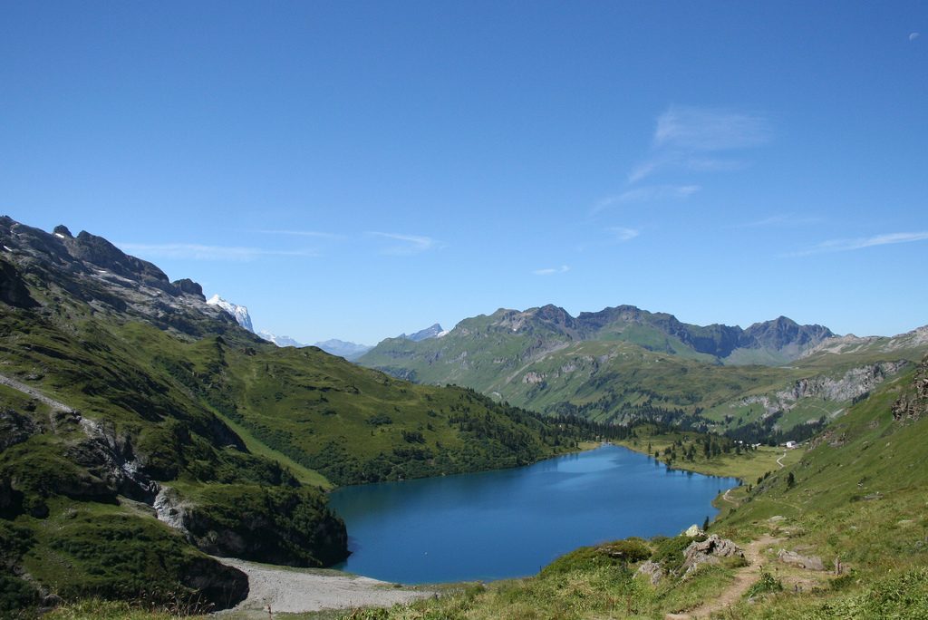
From the gondola station at Melchsee-Frutt, the path runs east along the Melchsee and past the dam of the Tannensee, then across the open alps of Tannalp and down to Engstlenalp, by the clear Engstlensee. It climbs steadily up the slope above the lake to the Jochpass, at 2,207 m, with its inn and a sudden view of the Titlis and Trübsee. The way down follows a track and path to the Trübsee, beside the cable car station.
It is 13.6 km one way with 530 m of ascent and 674 m of descent; allow about 5 hours. The grade is Moderate: well-marked mountain paths and tracks, with one long climb to the Jochpass.
The route is usually walked from July to October. The ground is high and open, so check the weather. A chairlift also runs from the Engstlensee to the Jochpass in summer, for those who want to cut out the climb. Keep to the marked path near the Jochpass: a via ferrata starts there and is not part of this walk.
Stöckalp, where the gondola to Melchsee-Frutt starts, is reached by bus from Sarnen. From Trübsee the cable car runs down to Engelberg, which has trains to Lucerne.
Route drawn by Global Adventurer along OpenStreetMap paths (© OpenStreetMap contributors, ODbL), with figures worked out from it. Check the forecast and the ground on the day: paths change.
Good to know
- Past four lakes: the Melchsee, Tannensee, Engstlensee and Trübsee, across three cantons
- The highest point is the Jochpass, 2,207 m, with a mountain inn and a view down to Trübsee and the Titlis
- Up by gondola from Stöckalp to Melchsee-Frutt; down by cable car from Trübsee to Engelberg
- Switzerland's walking federation gives about five hours, 15 km, 640 m up and 760 m down
Getting there
Start: Melchsee-Frutt, top station of the gondola from Stöckalp. 46.77591, 8.26917
Places to stay nearby
Rooms in and around Melchsee-Frutt: Booking.com → Expedia →
Affiliate links: if you book, Global Adventurer earns a small commission at no cost to you.
Paths change, and the weather decides the day. The line and figures come from OpenStreetMap and our own checks; take a map, check the forecast, and turn back if it isn't right.