Line © OpenStreetMap contributors (ODbL), checked by Global Adventurer.
The walk
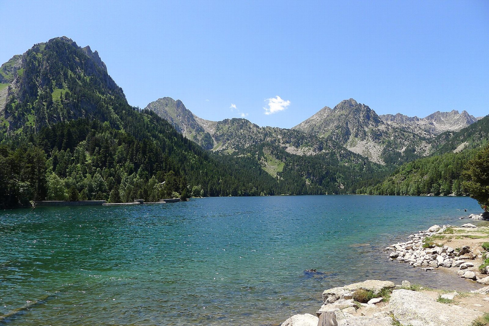
Private cars may go no further than the Prat de Pierró car park, 4 km above Espot. From there the first 450 m is a boardwalk; the path then crosses the Riu Escrita by a wooden bridge and climbs gently through pine and fir, past the Pont de Pallers hut and across the access track, to the spring and chapel of Sant Maurici. A last short climb reaches the lake at 1,910 m, with the twin peaks of Els Encantats above it. Return the same way.
It is 7.4 km there and back with 259 m of climbing; allow about 2½ hours. The grade is Easy: a broad, well-made path, stony in places.
The 4x4 taxis of Espot run up to the lake all year, weather permitting, and can save you the walk one way. The car park fills at busy times, when the road is shut below it, and it is closed from 1 December until Easter.
The national park gives April to November as the season for this path; outside it expect snow and ice. From the lake, paths go on to the Ratera waterfall and the viewpoint above it, for a longer day.
Route drawn by Global Adventurer along OpenStreetMap paths (© OpenStreetMap contributors, ODbL), with figures worked out from it. Check the forecast and the ground on the day: paths change.
Good to know
- The lake below the twin peaks of Els Encantats, in a national park of more than 200 lakes
- Private cars stop at Prat de Pierró: beyond it you walk, or take a 4x4 taxi from Espot
- The first 450 m is a boardwalk; the path then follows the Riu Escrita past the chapel of Sant Maurici
- The car park is closed from December until Easter
Getting there
Start: Prat de Pierró car park · Free parking. 42.58455, 1.04835
Places to stay nearby
Rooms in and around Catalan Pyrenees: Booking.com → Expedia →
Affiliate links: if you book, Global Adventurer earns a small commission at no cost to you.
Paths change, and the weather decides the day. The line and figures come from OpenStreetMap and our own checks; take a map, check the forecast, and turn back if it isn't right.
