Line © OpenStreetMap contributors (ODbL), checked by Global Adventurer.
The hike
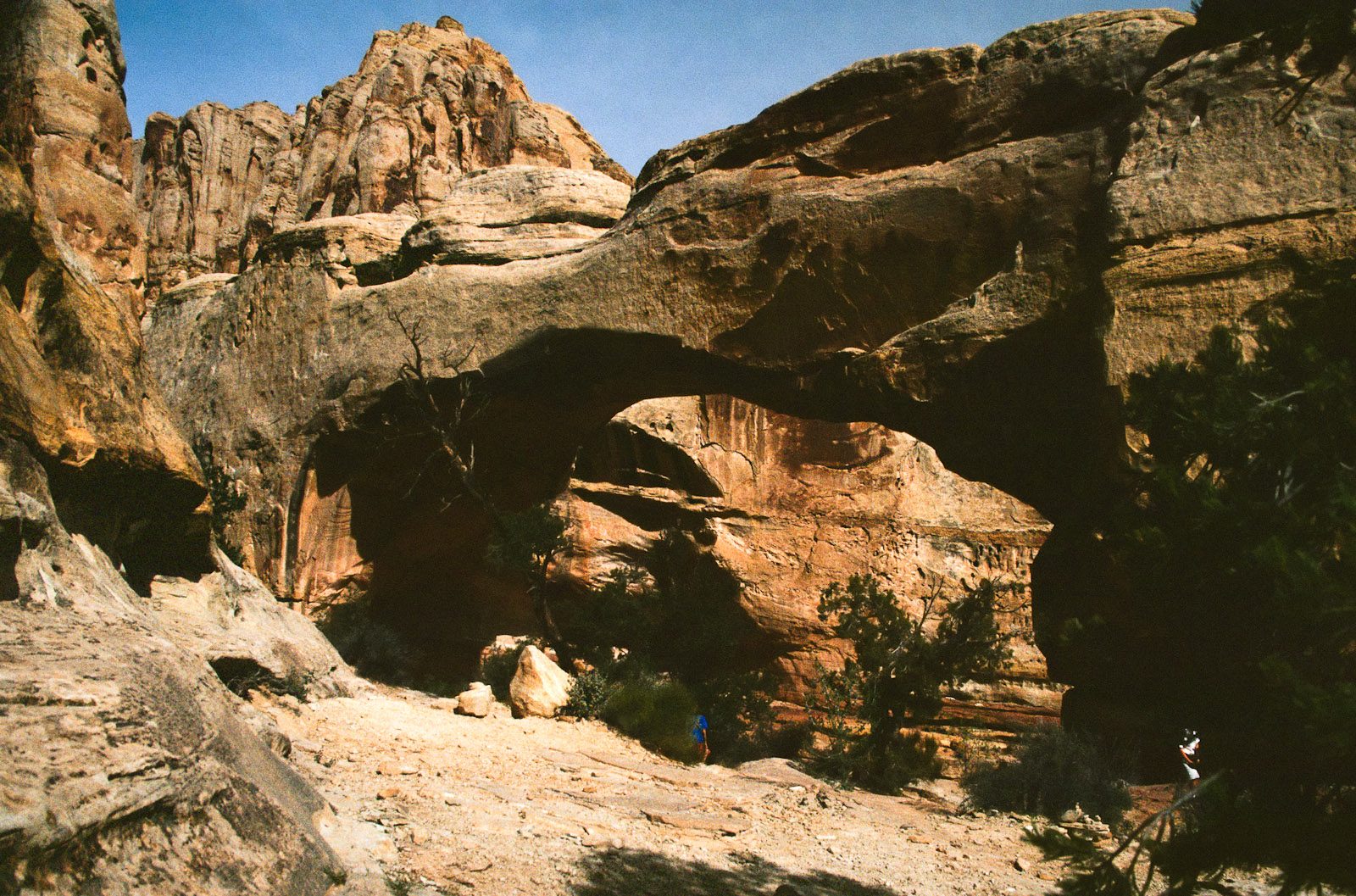
The trailhead is on Highway 24, beside the Fremont River. The trail follows the river briefly, then climbs away from it. Where the Rim Overlook Trail turns off to the right, keep left. The path crosses open, rocky benches and drops into a small wash, which it follows up to the bridge. A short loop goes under the span and round it before rejoining the way you came. Return the same way.
It is 1.7 miles (2.8 km) round trip with 370 feet (112 m) of climbing; allow about an hour. The grade is Easy: it is short, but it climbs about 400 feet over rough, rocky ground, and the park rates it moderate.
The park gives the bridge a span of 133 feet. There is little shade, and it is hot from as early as May: carry water, and reckon on a gallon a person for a full day in the park. Do not swim in the Fremont River or get its water in your mouth: it had high E. coli levels in late summer 2026. All visitors need a park entrance pass, which is $20 a vehicle. Pets are not allowed on trails. Cairns mark the way over the rock, and the park asks you not to build new ones.
Route drawn by Global Adventurer along OpenStreetMap paths (© OpenStreetMap contributors, ODbL), with figures worked out from it. Check the forecast and the ground on the day: paths change.
Good to know
- A natural bridge about 40 m across, carved from Kayenta sandstone
- Named for Joseph Hickman, a local teacher who campaigned for the park
- Passes a small Fremont granary; little shade in summer
Getting there
Start: Hickman Bridge Trailhead. 38.28874, -111.22816
Places to stay nearby
Rooms in and around Capitol Reef and Grand Staircase–Escalante: Booking.com → Expedia →
Affiliate links: if you book, Global Adventurer earns a small commission at no cost to you.
Paths change, and the weather decides the day. The line and figures come from OpenStreetMap and our own checks; take a map, check the forecast, and turn back if it isn't right.