Line © OpenStreetMap contributors (ODbL), checked by Global Adventurer.
The hike
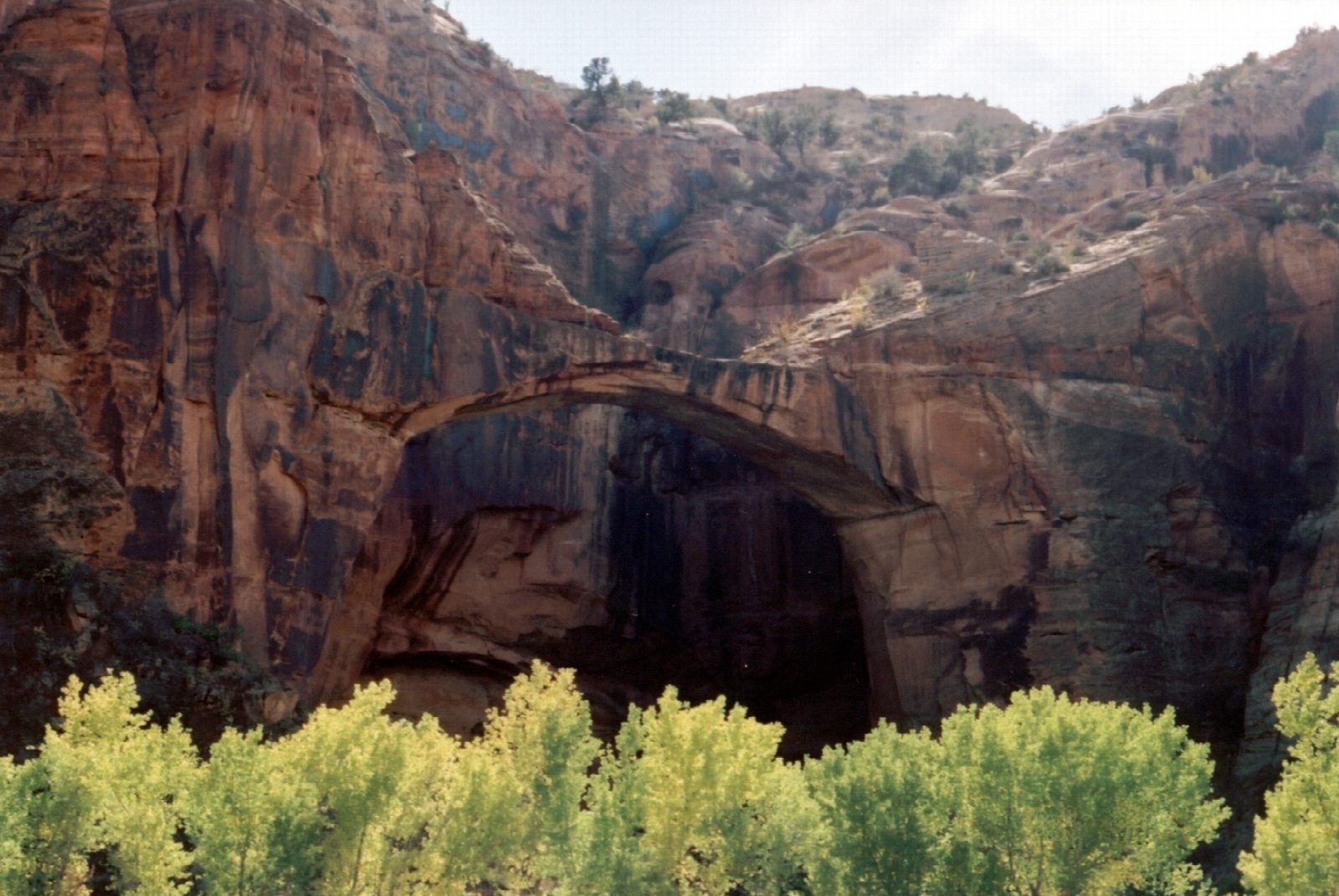
The Escalante River Trailhead is on Highway 12, just north of the river bridge, about 13 miles east of Escalante. The path heads upstream and soon fords the river for the first time. It carries on along sandy banks under cottonwoods, crossing the river three or four more times, with the canyon walls rising on both sides. After a little over a mile and a half the bridge appears on the left, in the south wall: a heavy arch of dark-streaked sandstone standing against the cliff. Return the same way.
It is 3.2 miles (5.2 km) round trip with 90 feet (27 m) of climbing; allow about 1½ hours. The grade is Easy: it is level, though you walk in sand and water.
The Bureau of Land Management gives the bridge a height of 130 feet and a span of 100. Expect wet feet. The fords are usually shin-deep, but the river is dangerous in high water: do not try to cross a flood, and stay out of the canyon if storms threaten. Flash floods are most common from July to September. There is no fee at the trailhead. Dogs are allowed, on a lead. A natural arch with a cliff dwelling below it lies about a third of a mile further upstream. Carry a gallon of water each for a day out here.
Route drawn by Global Adventurer along OpenStreetMap paths (© OpenStreetMap contributors, ODbL), with figures worked out from it. Check the forecast and the ground on the day: paths change.
Good to know
- Up the Escalante River from the Highway 12 bridge, fording it several times
- The natural bridge stands against the canyon wall, with a natural arch further upstream
- Expect wet feet; turn back if storms threaten, and beware patches of quicksand
Getting there
Start: Escalante River Trailhead. 37.77596, -111.41958
Places to stay nearby
Rooms in and around Capitol Reef and Grand Staircase–Escalante: Booking.com → Expedia →
Affiliate links: if you book, Global Adventurer earns a small commission at no cost to you.
Paths change, and the weather decides the day. The line and figures come from OpenStreetMap and our own checks; take a map, check the forecast, and turn back if it isn't right.
