Line © OpenStreetMap contributors (ODbL), checked by Global Adventurer.
The walk
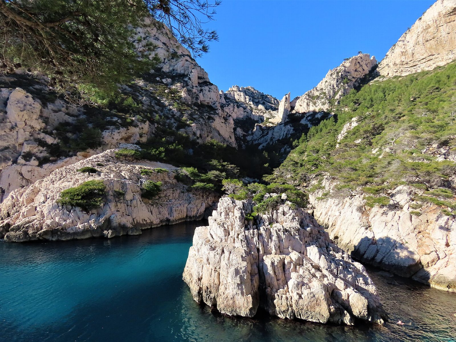
From the car park by the bus terminus at Luminy, follow the broad forest track south through the pines to the Col de Sugiton. A path drops from the col to the Belvédère de Sugiton, looking down on the calanque and the islets at its mouth, then goes on down rough rock and steps to the shore. Return the same way, with the whole climb on the way back.
It is 9.9 km there and back with 300 m of ascent; allow about 3½ hours. The grade is Moderate: an easy track to the col, then a steep, rocky path to the sea.
So many visitors came here in summer, up to 2,500 a day, that the soil above the beach is washing away and the roots of the old pines are laid bare. To let it recover, the Parc national des Calanques has made the shore at Sugiton and the Pierres Tombées bookable only, free, in the busiest weeks of summer (in 2026: late June to late August and some September weekends). Bookings open three days ahead. From 1 June to 30 September access to the massif is also set each day by the fire risk; on a red day it is closed.
Luminy is at the end of city bus routes from central Marseille; the car park is beside the terminus.
Route drawn by Global Adventurer along OpenStreetMap paths (© OpenStreetMap contributors, ODbL), with figures worked out from it. Check the forecast and the ground on the day: paths change.
Good to know
- Sugiton is the calanque nearest Marseille's Luminy campus, below the Col de Sugiton
- Heavy use has worn the soil away above the beach: in summer up to 2,500 people a day came, and the roots of the old pines are laid bare
- In the busiest weeks of summer the calanques of Sugiton and the Pierres Tombées can only be visited with a free booking, made from three days before
- From 1 June to 30 September access to the massif depends on the daily fire-risk level set by the prefecture
Getting there
Start: Luminy car park. 43.23200, 5.43816
Places to stay nearby
Rooms in and around Marseille-Blancarde: Booking.com → Expedia →
Affiliate links: if you book, Global Adventurer earns a small commission at no cost to you.
Paths change, and the weather decides the day. The line and figures come from OpenStreetMap and our own checks; take a map, check the forecast, and turn back if it isn't right.