Line © OpenStreetMap contributors (ODbL), checked by Global Adventurer.
The walk
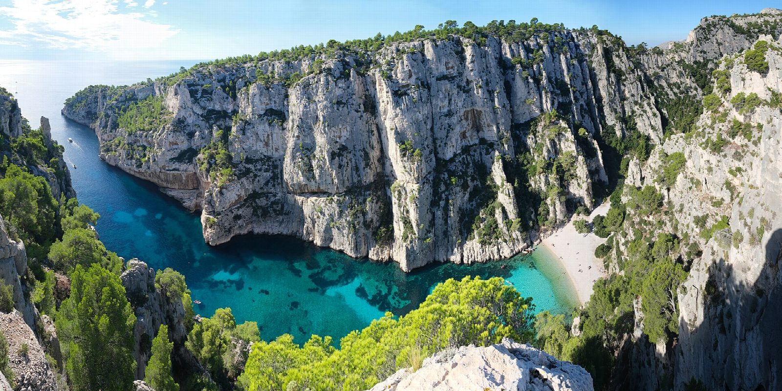
From the Parking de la Presqu'île above Port-Miou, walk round the head of Port-Miou, a long narrow inlet full of boats, and take the path west over the limestone to Port-Pin, a small beach in a cove shaded by pines. The path climbs from Port-Pin over the plateau and up to the cliff-top viewpoint above the calanque of En-Vau, looking down on its white walls, its needles of rock and its pebble beach far below. Return the same way. The steep descent to the beach at En-Vau is not part of this walk.
It is 8 km there and back with 425 m of ascent; allow about 3½ hours. The grade is Moderate: rocky limestone paths, with rough steps on the climb to the viewpoint.
There is little shade beyond Port-Pin and no drinking water, so carry plenty. Keep back from the cliff edges at the viewpoint. Until June 2027 building work on a water reservoir disturbs paths around Port-Miou; follow the signed diversions. From 1 June to 30 September access to the massif is set each day by the prefecture according to the fire risk; on a red day it is closed to walkers.
The pay car park is at the end of the Presqu'île road in Cassis; in summer it fills early.
Route drawn by Global Adventurer along OpenStreetMap paths (© OpenStreetMap contributors, ODbL), with figures worked out from it. Check the forecast and the ground on the day: paths change.
Good to know
- Port-Miou, Port-Pin and En-Vau are the three calanques nearest Cassis, in the Parc national des Calanques
- From the cliff-top viewpoint over En-Vau the walk returns the same way; the steep descent to En-Vau beach is not part of it
- From 1 June to 30 September access to the massif depends on the daily fire-risk level set by the prefecture
- Until June 2027 work on a water reservoir disturbs paths around Port-Miou; follow the signed diversions
Getting there
Start: Parking de la Presqu'île. 43.20666, 5.51873
Places to stay nearby
Rooms in and around Cassis: Booking.com → Expedia →
Affiliate links: if you book, Global Adventurer earns a small commission at no cost to you.
Paths change, and the weather decides the day. The line and figures come from OpenStreetMap and our own checks; take a map, check the forecast, and turn back if it isn't right.