Line © OpenStreetMap contributors (ODbL), checked by Global Adventurer.
The walk
The walk starts from the car park on the east side of Glen Feshie, about a kilometre short of Achlean, where there is no parking. It follows the road briefly, then the path up the glen, fording a fast burn and crossing the Allt Garbhlach, to tracks in the pinewood. A landrover track climbs out of the trees high above Coire Caol and along the rim of Coire Garbhlach onto the plateau, and a fainter path leads to the summit cairn. Return the same way.
It is 19.8 km (12.3 miles) with 754 m (2,470 ft) of ascent; allow about 7 hours. The grade is Hard.
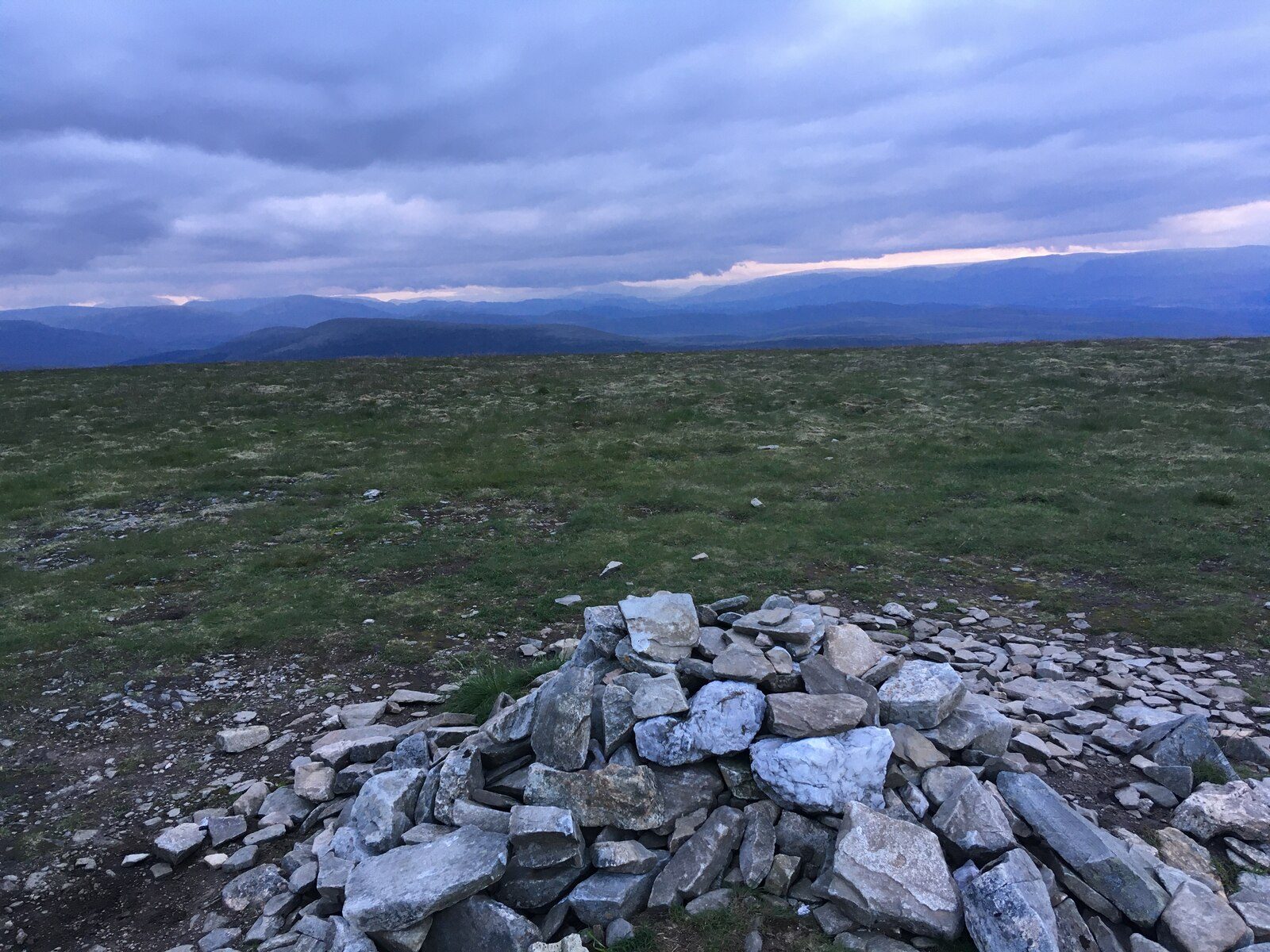
Short detours to the edge give dramatic views down into Coire Garbhlach. The summit is a broad, flat top on the edge of the Mòine Mhòr, with the vast plateau stretching away to Braeriach and Càrn Toul. Lower down, the native pines and juniper of Glen Feshie are regenerating strongly.
The burn near the start can be tricky, or impassable, after heavy rain, and parts of the glen path have been washed out by floods. The plateau is easy walking but hard to navigate in cloud.
Route drawn by Global Adventurer along OpenStreetMap paths (© OpenStreetMap contributors, ODbL), with figures worked out from it. Check the forecast and the ground on the day: paths change.
Good to know
- A burn to ford near the start, which can be impassable in flood
- Views down into Coire Garbhlach on the way up
- A broad, flat summit on the edge of the Moine Mhor plateau
- Through regenerating native pinewood in Glen Feshie
Summits on the way
- Mullach Clach a' Bhlair 1,019 m
Getting there
Start: Achlean car park, Glen Feshie · Free parking. 57.06325, -3.89711
Places to stay nearby
Rooms in and around Achlean car park: Booking.com → Expedia →
Affiliate links: if you book, Global Adventurer earns a small commission at no cost to you.
Paths change, and the weather decides the day. The line and figures come from OpenStreetMap and our own checks; take a map, check the forecast, and turn back if it isn't right.


