Line © OpenStreetMap contributors (ODbL), checked by Global Adventurer.
The walk
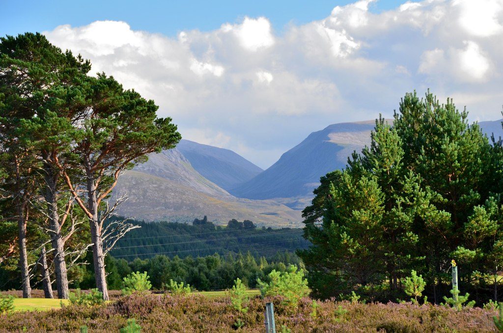
From the Whitewell car park in Rothiemurchus, a track leads east past Lochan Deò to Piccadilly, where the Lairig Ghru path turns south. It climbs through old pinewood and follows the Allt Druidh into the pass, between Lurcher's Crag and the Sròn na Lairige. Near the 835 m top the path is lost for about a kilometre among boulders. It passes the Pools of Dee and runs down below Cairn Toul and the Devil's Point to Clach nan Taillear. Beyond the turning for Corrour bothy, the path climbs round Càrn a' Mhaim into Glen Luibeg, crosses the burn by a footbridge above the ford, and reaches Derry Lodge; a track leads down Glen Lui to the Linn of Dee.
It is 30.1 km with 620 m of ascent; allow about 9 hours. The grade is Strenuous: a very long day through remote, exposed country, with a rough, bouldery stretch at the top of the pass.
Walkhighlands rates this a serious walk: help is far off and snow often fills the pass in winter. There are no facilities apart from Corrour bothy, and burns can be impassable in spate. Keep dogs on a short lead in Rothiemurchus from April to mid-August, when capercaillie breed.
It is one-way, so arrange transport first. The Linn of Dee car park, near Braemar, charges. The nearest station is Aviemore, about 4.1 km away.
Route drawn by Global Adventurer along OpenStreetMap paths (© OpenStreetMap contributors, ODbL), with figures worked out from it. Check the forecast and the ground on the day: paths change.
Good to know
- The best-known hill pass in Scotland, through the heart of the Cairngorms
- The pass climbs to 835 m between the Braeriach and Ben Macdui massifs; the Pools of Dee, one of the sources of the River Dee, lie near the top
- Clach nan Taillear, the tailors' stone, is said to be where three tailors died in a blizzard
- Corrour bothy, across the Dee below the Devil's Point, is kept by the Mountain Bothies Association
Getting there
Start: Whitewell car park, Rothiemurchus. 57.15615, -3.79439
Places to stay nearby
Rooms in and around Whitewell car park: Booking.com → Expedia →
Affiliate links: if you book, Global Adventurer earns a small commission at no cost to you.
Paths change, and the weather decides the day. The line and figures come from OpenStreetMap and our own checks; take a map, check the forecast, and turn back if it isn't right.
