Line © OpenStreetMap contributors (ODbL), checked by Global Adventurer.
The walk
The walk starts from the car park at the Aviemore youth hostel at the south end of the main street, which walkers doing this route may use. The path goes through a tunnel under the A9 into the birch woods of Craigellachie National Nature Reserve, climbs past a lochan and contours round the amphitheatre below the crags to meet a track. A constructed path with steps continues up out of the trees, and a rougher path finishes at the summit cairn. The way back is down the track and a path along the edge of the reserve to the tunnel.
It is 5.0 km (3.1 miles) with 282 m (925 ft) of ascent; allow about 2 hours. The grade is Easy by time, but the last part is steep.
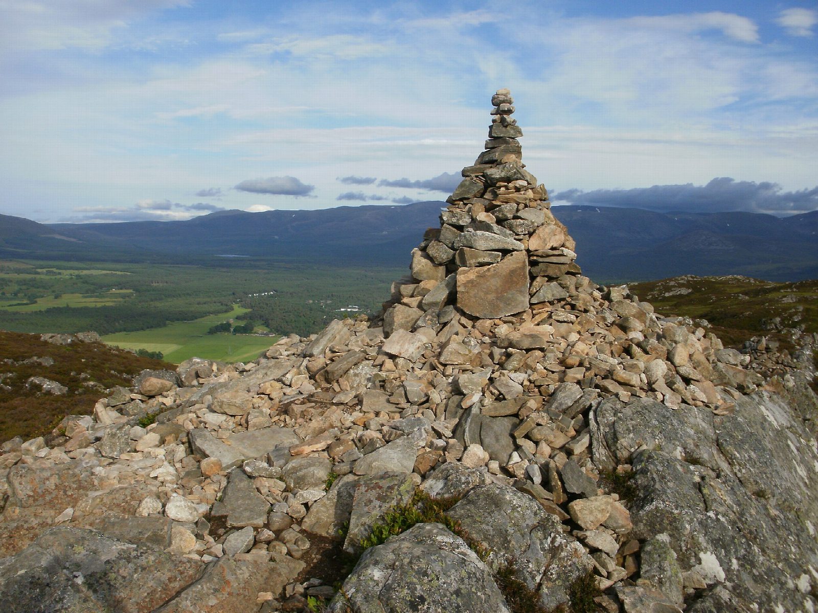
From the top the view takes in Aviemore, the ski runs on Cairn Gorm and the whole Cairngorm range across Strathspey; a second cairn a little further on looks west over a hill lochan. Peregrine falcons nest on the crags.
The paths are clear throughout. The final climb above the trees is steep, rough and rocky, and slippery when wet, so take care coming down.
Route drawn by Global Adventurer along OpenStreetMap paths (© OpenStreetMap contributors, ODbL), with figures worked out from it. Check the forecast and the ground on the day: paths change.
Good to know
- Craigellachie National Nature Reserve, reached through a tunnel under the A9
- Birch woods and lochans below crags where peregrine falcons nest
- The summit cairn looks across Aviemore and Strathspey to the Cairngorms
- The last climb above the trees is steep, rough and rocky
Summits on the way
- Craigellachie 493 m
Getting there
Start: Aviemore Youth Hostel car park · Free parking. 57.18440, -3.83270
By train: Aviemore station is 0.5 km from the start.
Places to stay nearby
Rooms in and around Aviemore: Booking.com → Expedia →
Affiliate links: if you book, Global Adventurer earns a small commission at no cost to you.
Paths change, and the weather decides the day. The line and figures come from OpenStreetMap and our own checks; take a map, check the forecast, and turn back if it isn't right.


