Line © OpenStreetMap contributors (ODbL), checked by Global Adventurer.
The walk
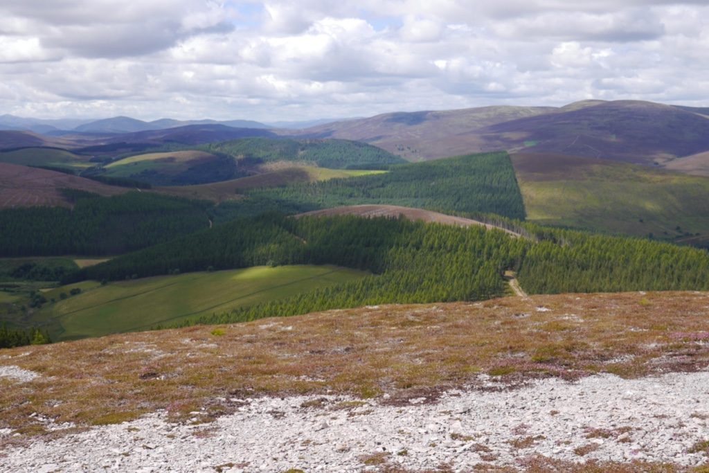
The walk starts from the Clash Wood car park, off the minor road at the north end of Tomnavoulin. Waymarked paths lead along the edge of the wood, then tracks past the farm at Westertown and up through pasture, with several gates, into a plantation. There the route joins the Speyside Way's Tomintoul spur and follows it south along the open ridge to the view indicator and cairn on Carn Daimh, 570 m. Return the same way.
It is 8.7 km (5.4 miles) with 350 m (1,150 ft) of ascent; allow about 3 hours. The grade is Moderate.
The ridge is a delight in fine weather, with the Cromdale Hills on one side and Ben Rinnes and Corryhabbie Hill on the other, and good views back to Ben Rinnes on the way up.
The lower paths cross farmland with livestock and can be wet and muddy through the heather; keep dogs on a lead near sheep and cattle. The ridge is open to the weather. Walkhighlands describes a longer circuit that continues along the Speyside Way and comes back by a rougher path beside a fence.
Route drawn by Global Adventurer along OpenStreetMap paths (© OpenStreetMap contributors, ODbL), with figures worked out from it. Check the forecast and the ground on the day: paths change.
Good to know
- A view indicator on the summit, beside the Speyside Way's Tomintoul spur
- Views to Ben Rinnes, the Cromdale Hills and Corryhabbie Hill
- Waymarked paths and tracks through farmland, forest and open hill
- Some wet, muddy ground on the lower paths
Summits on the way
- Carn Daimh 570 m
Getting there
Start: Clash Wood car park. 57.32171, -3.31594
Places to stay nearby
Rooms in and around Keith: Booking.com → Expedia →
Affiliate links: if you book, Global Adventurer earns a small commission at no cost to you.
Paths change, and the weather decides the day. The line and figures come from OpenStreetMap and our own checks; take a map, check the forecast, and turn back if it isn't right.


