Line © OpenStreetMap contributors (ODbL), checked by Global Adventurer.
The walk
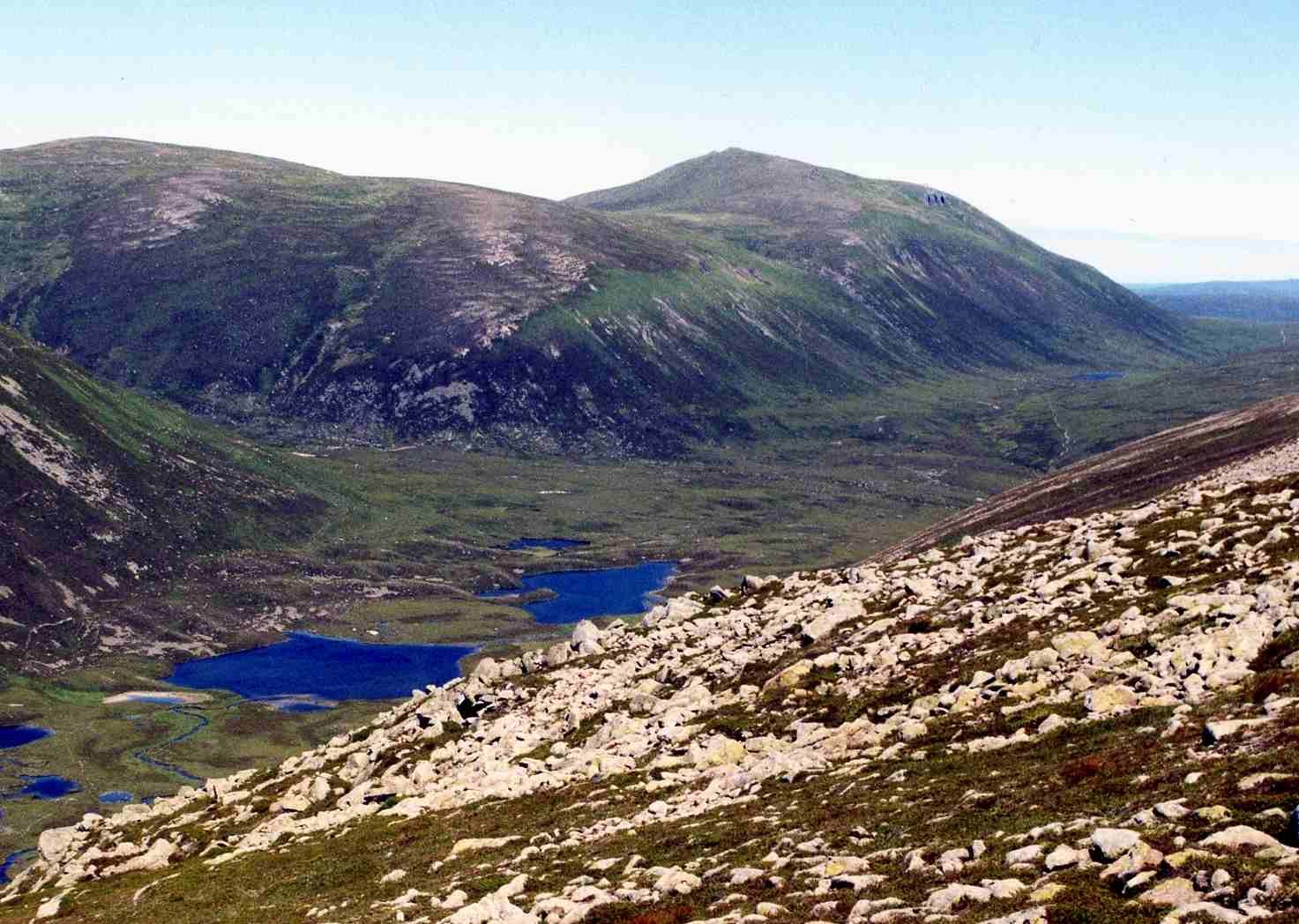
The walk starts from the roadside by Glenmore Lodge and goes out and back. It follows the track through the Ryvoan Pass past An Lochan Uaine, the green lochan, then heads east, crosses the River Nethy near the Bynack Stable and climbs the long north ridge to the summit of Bynack More (1,090 m). It is mainly path and track, with rough mountain path only near the top. The granite tors of the Barns of Bynack stand on its flank.
It is 19.9 km with 906 m of ascent; allow about 7½ hours. The grade is Hard, mostly for the length. The summit is remote and exposed to strong winds, the weather can change quickly, and in mist you need a map and compass; check the forecast and be ready to turn back. In winter the upper ridge is a serious outing. There are no mapped water sources on the route.
Glenmore Lodge is on the road beyond Glenmore, east of Aviemore. The nearest mapped parking is about 700 m from the start. Aviemore station is about 10 km away.
Route drawn by Global Adventurer along OpenStreetMap paths (© OpenStreetMap contributors, ODbL), with figures worked out from it. Check the forecast and the ground on the day: paths change.
Good to know
- Through the Ryvoan Pass by An Lochan Uaine, the green lochan
- Granite tors, the Barns of Bynack, on its flank
- Crosses the River Nethy near the Bynack Stable
Summits on the way
- Bynack More 1,090 m
Getting there
Start: Glenmore Lodge. 57.16454, -3.67605
Places to stay nearby
Rooms in and around Aviemore: Booking.com → Expedia →
Affiliate links: if you book, Global Adventurer earns a small commission at no cost to you.
Paths change, and the weather decides the day. The line and figures come from OpenStreetMap and our own checks; take a map, check the forecast, and turn back if it isn't right.