Line © OpenStreetMap contributors (ODbL), checked by Global Adventurer.
The walk
The walk starts from the small parking area at the end of the Whitewell road, which leaves the Cairngorm road at Inverdruie; the Loch an Eilein car park is the alternative. Paths lead through the Caledonian pinewood of Rothiemurchus past Lochan Deo to the Cairngorm Club footbridge, built in 1912, and up the Lairig Ghru path high above the Allt Druidh. A rebuilt path then climbs onto the Sròn na Lairige, and beyond a shallow bealach the ridge narrows before the summit of Braeriach, 1,296 m. Return the same way.
It is 26.5 km (16.5 miles) with 1,134 m (3,720 ft) of ascent; allow about 9½ hours. The grade is Strenuous.
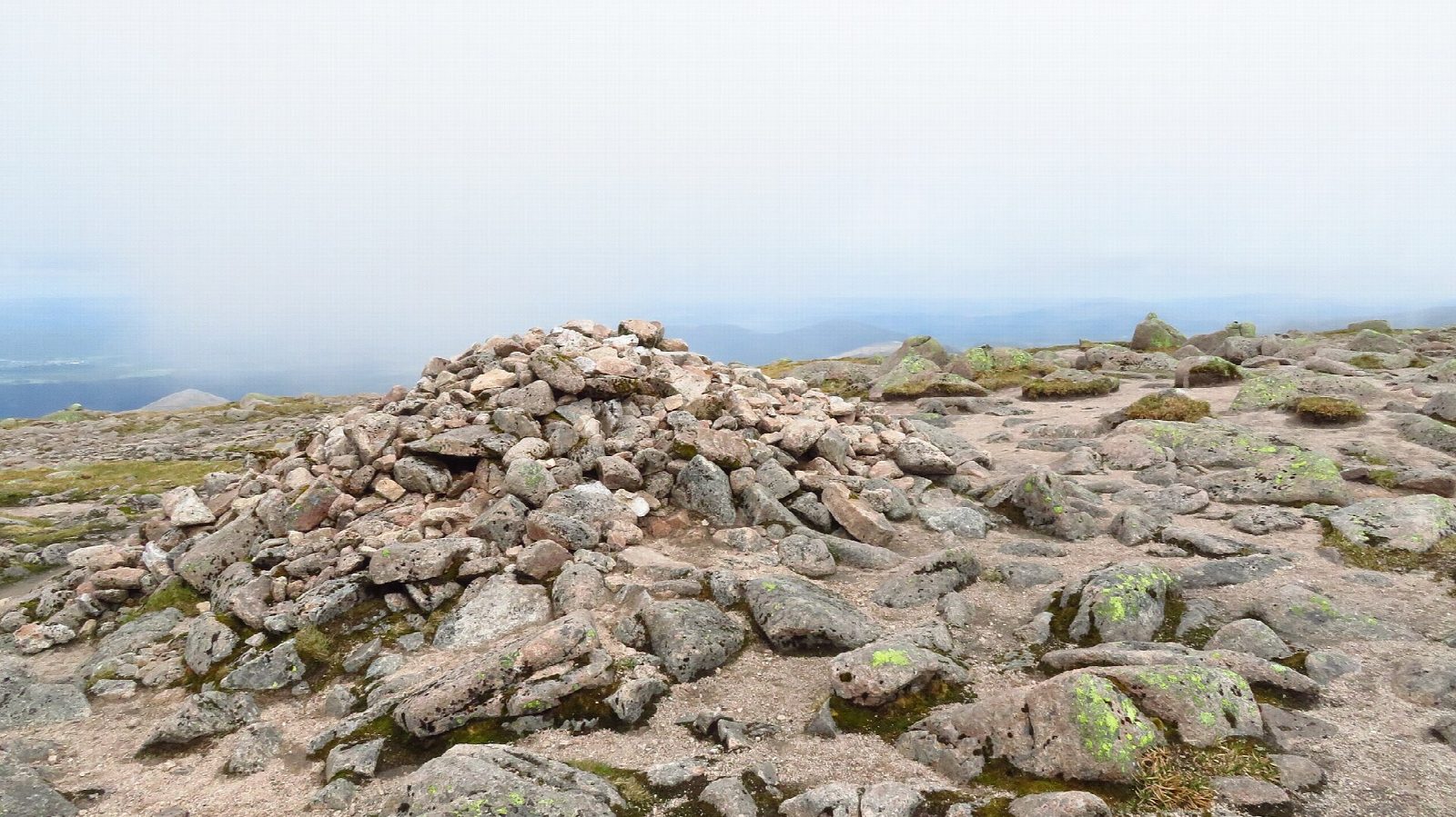
The summit stands close to the edge of the cliffs, with views down the Lairig Ghru and across Coire Brochain and the vast Garbh Choire to Cairn Toul and Sgòr an Lochain Uaine.
This is a long, tough day through exceptionally exposed terrain, and the plateau is very hard to navigate in cloud. Carry map, compass and full mountain gear, and turn back if the weather closes in. Walkhighlands also describes a return by Coire an Lochain and Gleann Einich, with a burn crossing that is impassable in spate.
Route drawn by Global Adventurer along OpenStreetMap paths (© OpenStreetMap contributors, ODbL), with figures worked out from it. Check the forecast and the ground on the day: paths change.
Good to know
- Britain's third highest mountain
- Through the Rothiemurchus pinewood and over the Cairngorm Club footbridge, built in 1912
- Up the Sròn na Lairige ridge high above the Lairig Ghru
- The summit is on the edge of cliffs above the Garbh Choire; the plateau is hard to navigate in mist
Summits on the way
- Sron na Lairige 1,184 m · passed close by
- Braeriach 1,296 m
Getting there
Start: Whitewell car park. 57.15615, -3.79439
Places to stay nearby
Rooms in and around Aviemore: Booking.com → Expedia →
Affiliate links: if you book, Global Adventurer earns a small commission at no cost to you.
Paths change, and the weather decides the day. The line and figures come from OpenStreetMap and our own checks; take a map, check the forecast, and turn back if it isn't right.


