Line © OpenStreetMap contributors (ODbL), checked by Global Adventurer.
The walk
The walk starts from the Glenmore Visitor Centre car park, which charges. It passes the memorial to the Norwegian resistance fighters who trained at Glenmore in the Second World War, climbs the lane by the reindeer centre and follows a forest track, then a rougher path with boardwalks and steps, round the hillside to An Lochan Uaine. The main path then climbs gently to Ryvoan bothy near the head of the pass. The return is back past the lochan and down the track to Glenmore Lodge, then by waymarked paths across the road, beside the burn and behind the beach at Loch Morlich, and along the road to the visitor centre.
It is 10.8 km (6.7 miles) with 162 m (530 ft) of ascent; allow about 3 hours. The grade is Moderate, for the length rather than the ground.
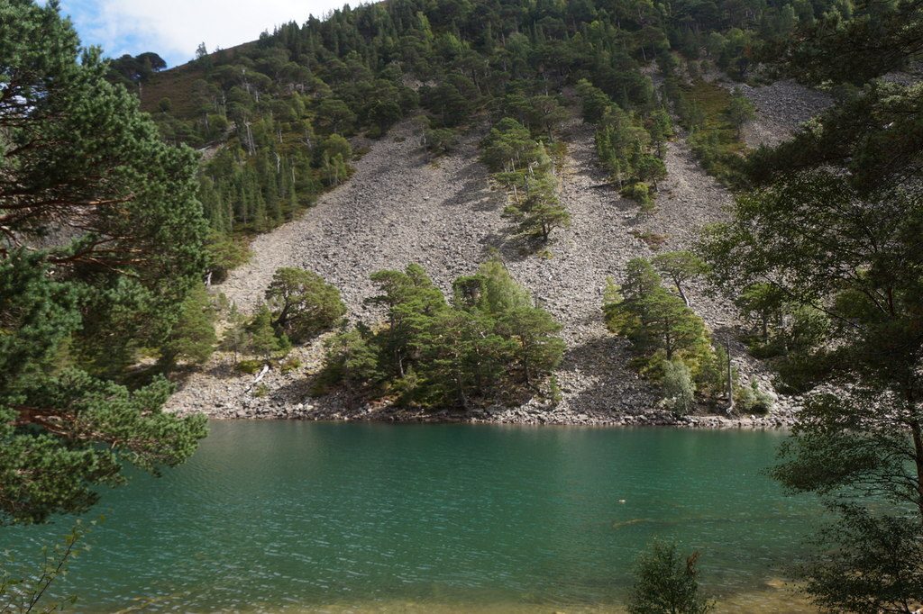
The lochan always has a green tint, and steps lead down to the water. Ryvoan bothy is an open shelter looked after by the Mountain Bothies Association: leave it tidy and carry out any rubbish.
Capercaillie live in these woods, so dogs must be on a lead from 1 April to 31 August. The path to the lochan is rough in places, with tree roots and steps.
Route drawn by Global Adventurer along OpenStreetMap paths (© OpenStreetMap contributors, ODbL), with figures worked out from it. Check the forecast and the ground on the day: paths change.
Good to know
- An Lochan Uaine, the green lochan, always has a greenish tint
- Ryvoan bothy, at the head of the pass, is looked after by the Mountain Bothies Association
- A memorial by the visitor centre remembers the Norwegian resistance fighters who trained at Glenmore in the Second World War
- Capercaillie live in these woods: dogs on leads from 1 April to 31 August
Getting there
Start: Glenmore Visitor Centre car park · Pay and display. 57.16774, -3.69391
Places to stay nearby
Rooms in and around Aviemore: Booking.com → Expedia →
Affiliate links: if you book, Global Adventurer earns a small commission at no cost to you.
Paths change, and the weather decides the day. The line and figures come from OpenStreetMap and our own checks; take a map, check the forecast, and turn back if it isn't right.


