Line © OpenStreetMap contributors (ODbL), checked by Global Adventurer.
The hike
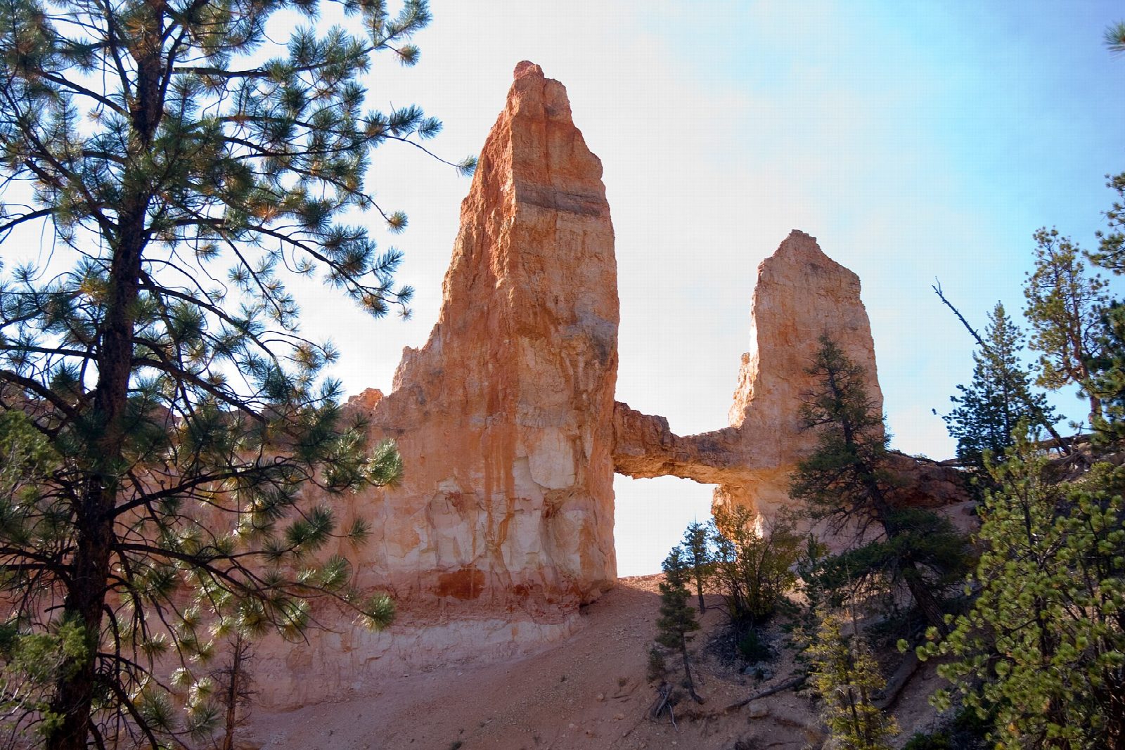
From the car park near Sunrise Point and the General Store walk to the rim and turn north along the Rim Trail for a quarter of a mile to the Tower Bridge trailhead. The Fairyland Loop Trail drops from here in long bends, below the row of hoodoos called the China Wall, to the canyon floor. A short spur leads to Tower Bridge: two spires joined by a span of rock. Return the same way.
It is 3.6 miles (5.8 km) round trip with 710 feet (215 m) of climbing; allow about 2 hours. The grade is Easy: it is short and downhill at first, with all of the climbing on the way back.
The park gives 3 miles for this walk from the trailhead on the rim; ours is measured from the car park. There is no water below the rim, and pets are not allowed on this trail. The General Store near Sunrise Point has restrooms and a water tap in season, and in 2026 the shuttle stops at Sunrise Point until October 18. Trails were muddy after heavy rain at the end of September 2026. The rim is at about 8,000 feet, so take the climb out slowly. This is a quieter way below the rim than the trails from Sunset Point.
Route drawn by Global Adventurer along OpenStreetMap paths (© OpenStreetMap contributors, ODbL), with figures worked out from it. Check the forecast and the ground on the day: paths change.
Good to know
- Below the China Wall to Tower Bridge, two spires joined by a rock bridge like their London namesake
- A shorter taste of the Fairyland Loop, away from the busiest trails
- No water below the rim, and the climb back out is steady
Summits on the way
- Tower Bridge · passed close by
Getting there
Start: Sunrise Point. 37.63125, -112.16529
Places to stay nearby
Rooms in and around Bryce Canyon: Booking.com → Expedia →
Affiliate links: if you book, Global Adventurer earns a small commission at no cost to you.
Paths change, and the weather decides the day. The line and figures come from OpenStreetMap and our own checks; take a map, check the forecast, and turn back if it isn't right.