Line © OpenStreetMap contributors (ODbL), checked by Global Adventurer.
The hike
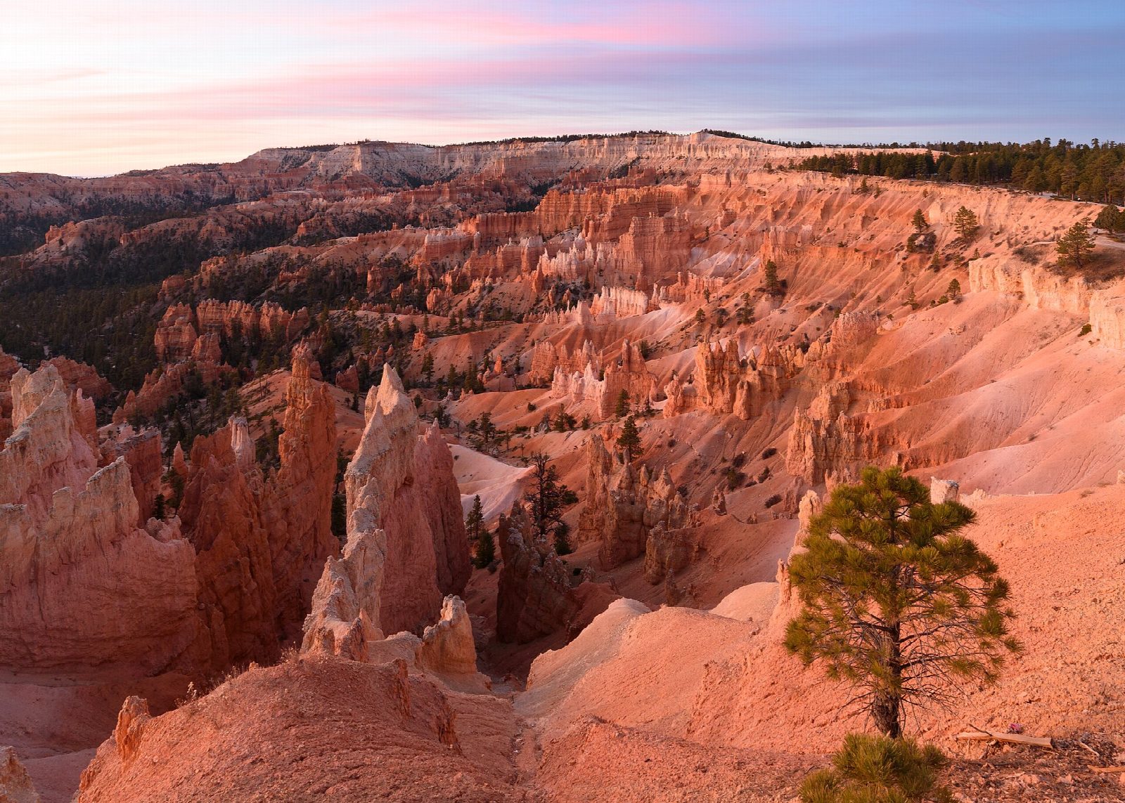
From Sunset Point walk the paved Rim Trail half a mile north to Sunrise Point. The Queen's Garden Trail drops from there into the amphitheater among the hoodoos; a short spur leads to the one named for Queen Victoria. Carry on along the canyon floor to the junction with the Navajo Loop and take the Two Bridges side, which climbs in tight switchbacks past its two small rock bridges, and past Thor's Hammer near the top, back to Sunset Point.
It is 3 miles (4.8 km) around the loop with 570 feet (173 m) of climbing; allow about 1½ hours. The grade is Easy: it is short, but the climb back to the rim is steep and the rim stands at about 8,000 feet.
This is the direction the park recommends. The Wall Street side of the Navajo Loop is closed until further notice after heavy rain (alert of September 29, 2026), and it closes every winter; the Two Bridges side stays open all year. Other trails are open but muddy. There is no water below the rim, and pets are not allowed on this trail. Wear boots with good grip: the park says poor footwear is the main cause of rescues. In 2026 the free park shuttle stops at Sunset and Sunrise Points until October 18.
Route drawn by Global Adventurer along OpenStreetMap paths (© OpenStreetMap contributors, ODbL), with figures worked out from it. Check the forecast and the ground on the day: paths change.
Good to know
- Along the rim, down Queen's Garden past the Queen Victoria hoodoo, and up the Navajo Loop
- Up by Two Bridges and Thor's Hammer; the Wall Street side closes in winter and after storms
- At about 2,400 m the air is thin, and the climb back to the rim is steep
Getting there
Start: Sunset Point · Free parking. 37.62371, -112.16791
Places to stay nearby
Rooms in and around Bryce Canyon: Booking.com → Expedia →
Affiliate links: if you book, Global Adventurer earns a small commission at no cost to you.
Paths change, and the weather decides the day. The line and figures come from OpenStreetMap and our own checks; take a map, check the forecast, and turn back if it isn't right.