Line © OpenStreetMap contributors (ODbL), checked by Global Adventurer.
The hike
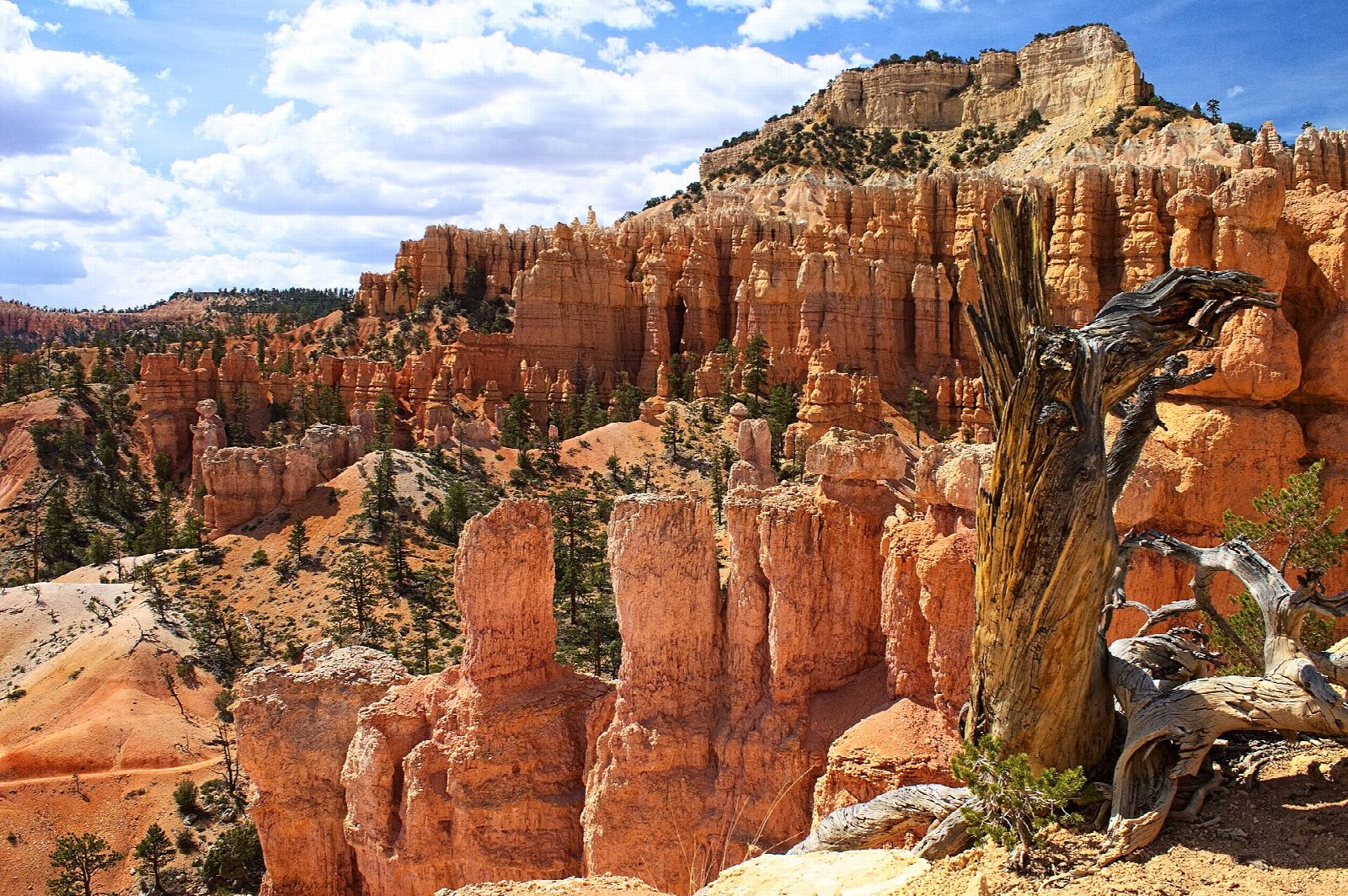
From Fairyland Point follow the Rim Trail south for two and a half miles, looking down on the hoodoos, to the Tower Bridge trailhead just north of Sunrise Point. The Fairyland Loop Trail drops from there below the China Wall to Tower Bridge, reached by a short spur. It then turns north, climbs and falls across Campbell Canyon and round the foot of Boat Mesa, and winds up through Fairyland Canyon back to Fairyland Point.
It is 7.9 miles (12.7 km) around the loop with 1,670 feet (509 m) of climbing; allow about 4½ hours. The grade is Moderate: there are several climbs, the last of them back to the rim, at close to 8,000 feet.
The park suggests walking the loop this way round, counter-clockwise, and rates it strenuous. There is no water on the trail and little shade; the park advises a quart of water every hour or two. Pets are not allowed. The shuttle does not go to Fairyland Point, though in season it stops at Sunrise Point. The spur road to Fairyland Point is closed to cars all winter: start from Sunrise Point then. Deep snow can make the trail impassable in midwinter. Trails were muddy after heavy rain at the end of September 2026.
Route drawn by Global Adventurer along OpenStreetMap paths (© OpenStreetMap contributors, ODbL), with figures worked out from it. Check the forecast and the ground on the day: paths change.
Good to know
- The quieter side of Bryce, down among the hoodoos past the China Wall and Tower Bridge
- Along the Rim Trail first, then down past Tower Bridge and back up through Fairyland Canyon
- Fairyland Point Road closes in winter; start from Sunrise Point then
Summits on the way
- Tower Bridge · passed close by
Getting there
Start: Fairyland Point. 37.64956, -112.14786
Places to stay nearby
Rooms in and around Bryce Canyon: Booking.com → Expedia →
Affiliate links: if you book, Global Adventurer earns a small commission at no cost to you.
Paths change, and the weather decides the day. The line and figures come from OpenStreetMap and our own checks; take a map, check the forecast, and turn back if it isn't right.