Line © OpenStreetMap contributors (ODbL), checked by Global Adventurer.
The walk
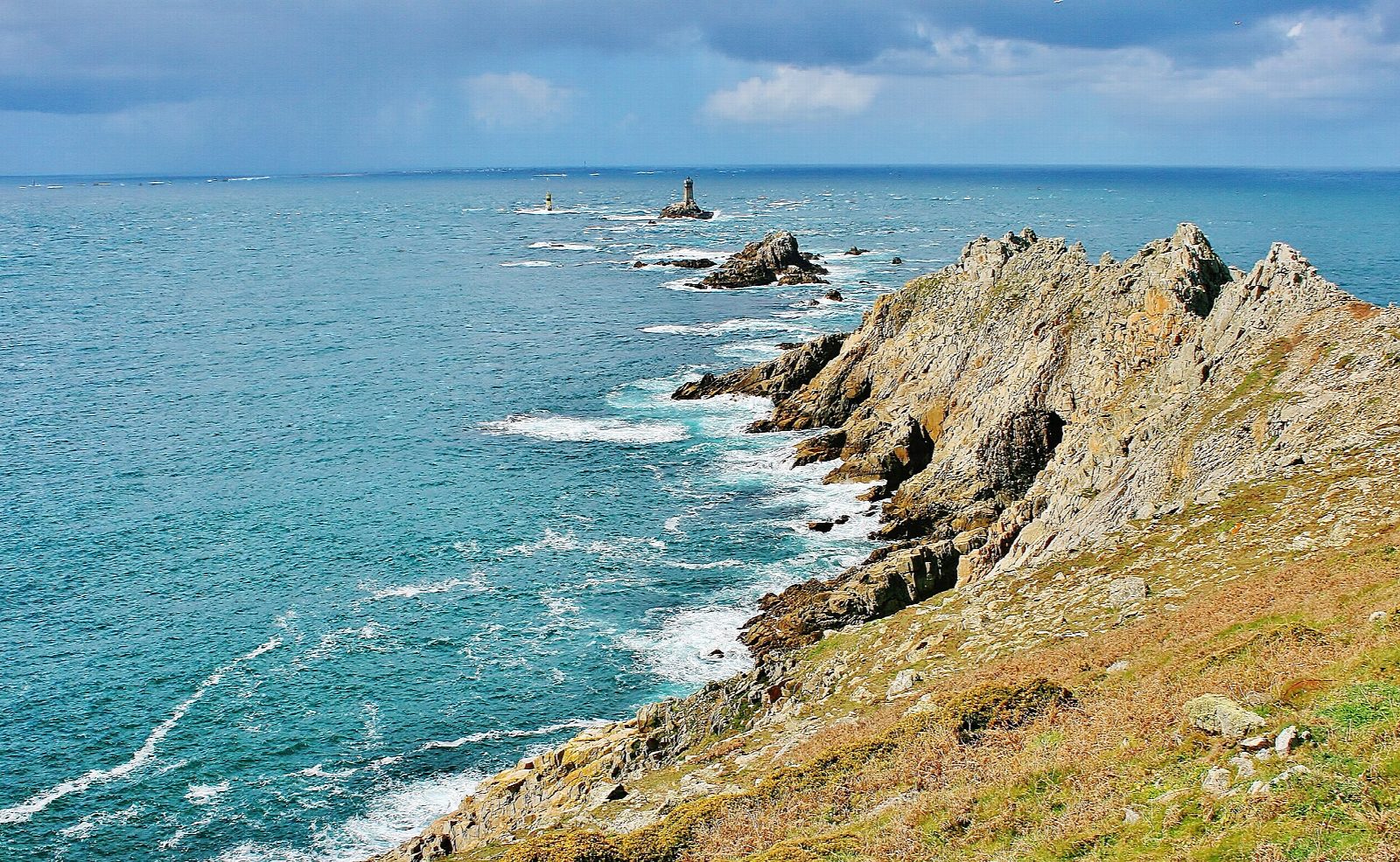
From the car park of the Grand Site at Plogoff, walk west on the paths across the heath to the Pointe du Raz, with the Île de Sein and its lighthouses out across the racing tide of the Raz de Sein. The walk stops at the end of the path, short of the bare rocks of the very tip. It then follows the coast path north and east along the cliff tops, above coves and stacks, and drops to the sandy beach of the Baie des Trépassés. The way back climbs inland by a track and lanes through the hamlet of Lescoff to the car park.
It is 6.6 km round with 150 m of ascent; allow about 2 hours. The grade is Easy: coastal paths over heath, rough near the point, with one climb from the bay.
The heath was badly worn by visitors before the site was restored, so keep to the marked paths and behind the ropes. The cliffs are high and unfenced in places, and the wind on the point can be very strong: stay well back from the edge. The rocks at the tip are not part of this walk.
The large pay car park at the Maison du Site is on the road from Audierne; there is also parking at the Baie des Trépassés.
Route drawn by Global Adventurer along OpenStreetMap paths (© OpenStreetMap contributors, ODbL), with figures worked out from it. Check the forecast and the ground on the day: paths change.
Good to know
- The Pointe du Raz is the westernmost headland of Brittany's Cap Sizun, facing the Île de Sein across the Raz de Sein
- The path out to the point runs between protected heath; the very tip is rough rock
- The Baie des Trépassés is a sandy bay between the Pointe du Raz and the Pointe du Van
Getting there
Start: Pointe du Raz car park. 48.03695, -4.71725
Places to stay nearby
Rooms in and around Brittany and Normandy: Booking.com → Expedia →
Affiliate links: if you book, Global Adventurer earns a small commission at no cost to you.
Paths change, and the weather decides the day. The line and figures come from OpenStreetMap and our own checks; take a map, check the forecast, and turn back if it isn't right.