Line © OpenStreetMap contributors (ODbL), checked by Global Adventurer.
The walk
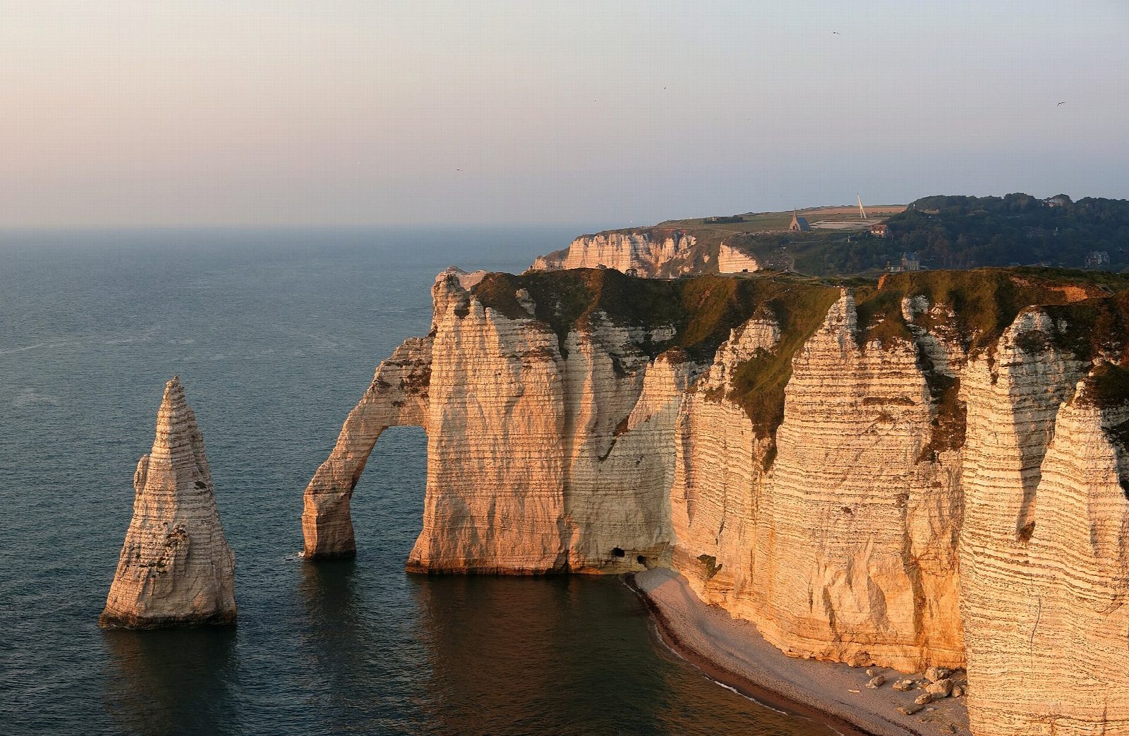
From the Parking de Fréfossé on the south side of Étretat, climb onto the Falaise d'Aval and walk out over the grass to the Pointe de la Courtine. Come back along the cliff top past the great arch of the Manneporte and the Porte d'Aval, with the Aiguille, a needle of chalk 51 m high, standing in the sea below. Drop into the town to the seafront, then climb the Falaise d'Amont to the chapel of Notre-Dame de la Garde above the Porte d'Amont, before walking back through the town to the car park.
It is 8.8 km round with 251 m of ascent; allow about 3 hours. The grade is Easy: grassy cliff-top paths, steps and town streets, with two short climbs.
The chalk is crumbling and falls without warning. By order of the commune you must keep at least 5 m back from the edge on both cliff tops, and the beaches under the cliffs, the tunnels through the points and the Trou à l'Homme are closed. Do not take pebbles from the beach: they protect the town from the sea.
Étretat has several pay car parks; Fréfossé is the largest. The town is busy at weekends and in summer.
Route drawn by Global Adventurer along OpenStreetMap paths (© OpenStreetMap contributors, ODbL), with figures worked out from it. Check the forecast and the ground on the day: paths change.
Good to know
- The chalk cliffs either side of Étretat are cut into arches: the Porte d'Aval and the Manneporte to the west, the Porte d'Amont to the east
- The Aiguille, a needle of chalk 51 m high, stands in the sea off the Porte d'Aval
- The chapel of Notre-Dame de la Garde stands on the Falaise d'Amont
- By municipal order walkers must keep at least 5 m back from the cliff edge on both cliff tops; the beaches below the cliffs and the tunnels through them are closed
Getting there
Start: Parking de Fréfossé. 49.70217, 0.19977
Places to stay nearby
Rooms in and around Fécamp: Booking.com → Expedia →
Affiliate links: if you book, Global Adventurer earns a small commission at no cost to you.
Paths change, and the weather decides the day. The line and figures come from OpenStreetMap and our own checks; take a map, check the forecast, and turn back if it isn't right.
