Line © OpenStreetMap contributors (ODbL), checked by Global Adventurer.
The hike
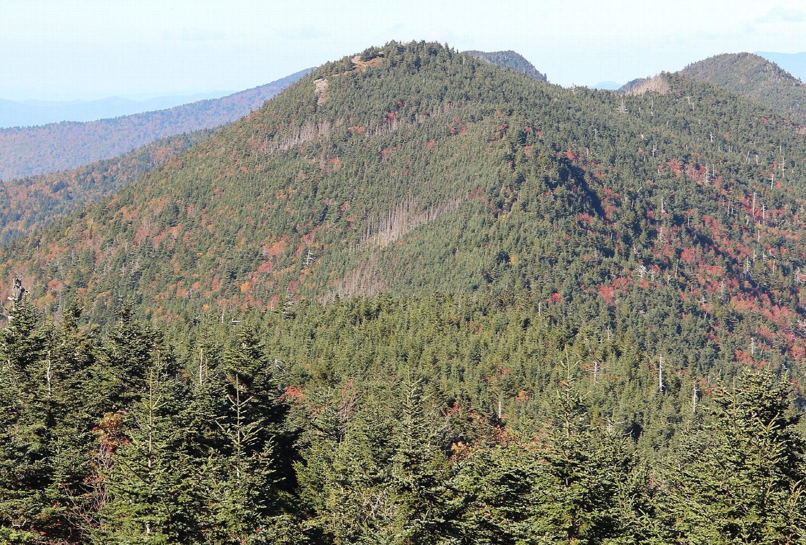
The walk starts at the summit parking lot of Mount Mitchell State Park, at the end of NC 128. The Deep Gap Trail, the first part of the Black Mountain Crest Trail, leaves from the far end of the lot, by the picnic area. It drops through spruce and fir on stone steps, crosses a gap, and climbs over bare rock, with some scrambling, to the open top of Mount Craig. The trail goes on along the ridge to the wooded summit of Big Tom, where our line turns. Return the same way.
It is 2.2 miles (3.6 km) round trip with 570 feet (174 m) of climbing; allow about 1½ hours. The grade is Hard, for the ground: short, but steep, rocky and rooty, with scrambling, and you climb in both directions.
Mount Mitchell, at 6,684 feet, is the highest point east of the Mississippi, and Mount Craig, at 6,647 feet, is the second. It is often 10 to 20 degrees colder here than in Asheville, and the weather changes quickly. Stay on the marked path on Mount Craig, where the plants are rare.
The park is free. It can be reached only by the Blue Ridge Parkway, which is still closed north of the park after Hurricane Helene, so come from the Asheville side. In winter the Parkway closes for ice and the park with it.
Route drawn by Global Adventurer along OpenStreetMap paths (© OpenStreetMap contributors, ODbL), with figures worked out from it. Check the forecast and the ground on the day: paths change.
Good to know
- Along the Black Mountain Crest from Mount Mitchell, the highest point east of the Mississippi
- Mount Craig is the second-highest peak in the eastern US
- Rocky, rooty and often cold, wet and foggy even in summer
Summits on the way
- Mount Craig 6,637 ft (2,023 m)
- Big Tom 6,568 ft (2,002 m)
Getting there
Start: Mount Mitchell State Park summit parking · Free parking. 35.76672, -82.26488
Places to stay nearby
Rooms in and around Blue Ridge Mountains: Booking.com → Expedia →
Affiliate links: if you book, Global Adventurer earns a small commission at no cost to you.
Paths change, and the weather decides the day. The line and figures come from OpenStreetMap and our own checks; take a map, check the forecast, and turn back if it isn't right.