Line © OpenStreetMap contributors (ODbL), checked by Global Adventurer.
The hike
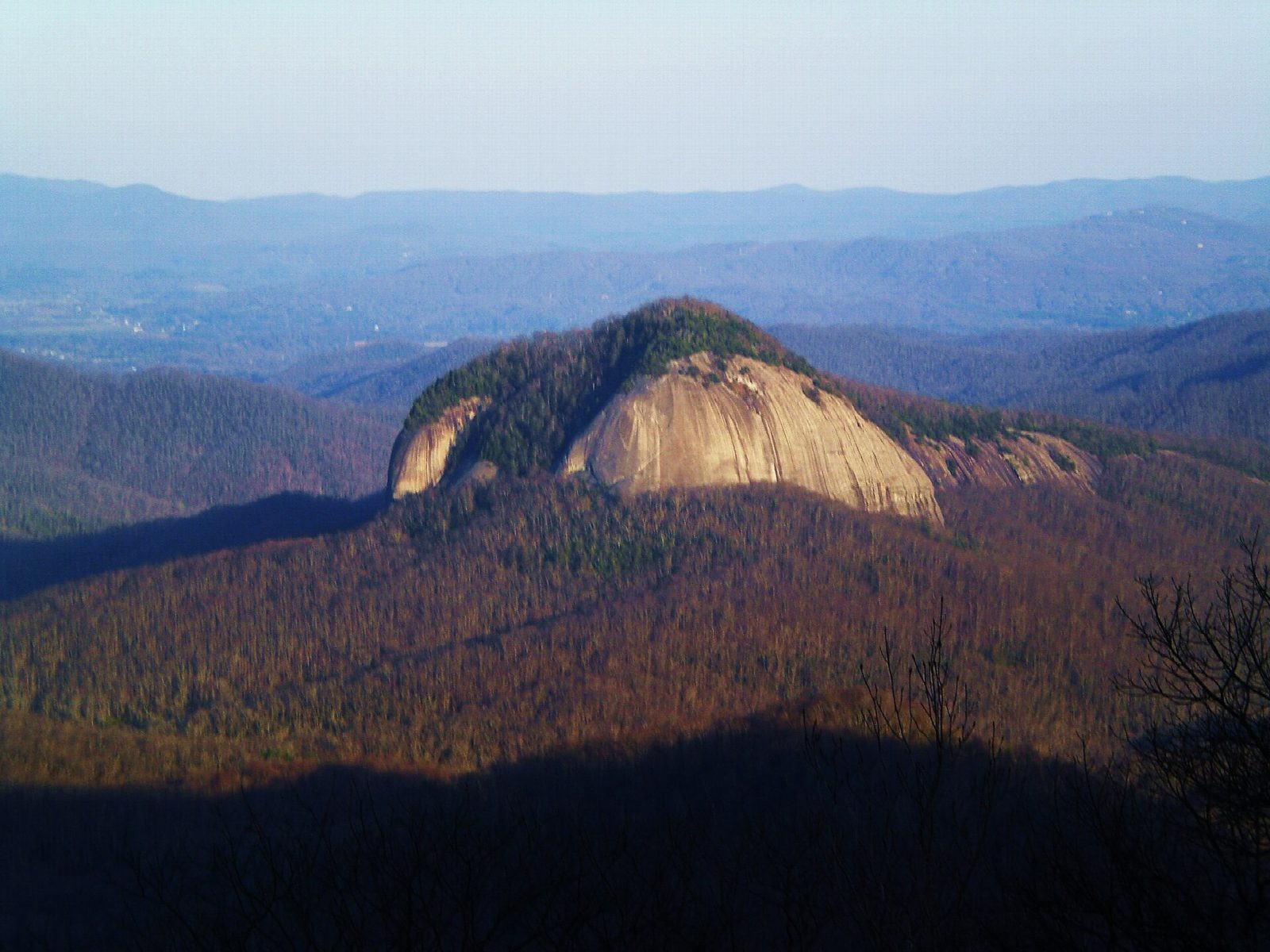
The walk starts at the Looking Glass Rock Trailhead on Forest Road 475, a short way off US 276 north of Brevard, where there is a small parking area. The trail begins gently beside a stream, then climbs steeply in a long series of switchbacks through rhododendron and hardwood forest. About two miles up it crosses a flat rock clearing used as a helicopter landing pad,. The last mile is easier, over the wooded top of the dome and down a little to the open rock slabs on its far side, where the view opens over the Pisgah forest to the Blue Ridge Parkway. Return the same way.
It is 5.9 miles (9.5 km) round trip with 1,950 feet (594 m) of climbing; allow about 4½ hours. The grade is Moderate: a steady, sustained climb on a good path; local guides rate it hard.
The slabs slope away to cliffs several hundred feet high and there is no fence. This is an extremely dangerous place in the wet or in ice: stay well back from the edge, most of all when taking photographs. Carry water; there is none on the upper trail.
Parking is free and very limited, so come early. The rock's cliffs are closed to climbers from January 15 to August 15 while peregrine falcons nest; the hiking trail stays open. Dogs must be on a leash.
Route drawn by Global Adventurer along OpenStreetMap paths (© OpenStreetMap contributors, ODbL), with figures worked out from it. Check the forecast and the ground on the day: paths change.
Good to know
- A granite dome whose cliffs shine like a mirror when wet or icy
- Switchbacks through forest lead to open rock slabs near the top
- Stay back from the edge of the slabs: they are steep and slick when wet
Summits on the way
- Looking Glass Rock 3,967 ft (1,209 m)
Getting there
Start: Looking Glass Rock Trailhead, Forest Road 475. 35.29092, -82.77653
Places to stay nearby
Rooms in and around Looking Glass Rock Trailhead: Booking.com → Expedia →
Affiliate links: if you book, Global Adventurer earns a small commission at no cost to you.
Paths change, and the weather decides the day. The line and figures come from OpenStreetMap and our own checks; take a map, check the forecast, and turn back if it isn't right.