Line © OpenStreetMap contributors (ODbL), checked by Global Adventurer.
The hike
The walk starts at the Graveyard Fields Overlook on the Blue Ridge Parkway, at milepost 418.8. Take the steps and paved path down to the bridge over the Yellowstone Prong. Just beyond it a short spur on the right drops by wooden steps to the foot of Second Falls, also called Lower Falls. Go back to the junction and follow the loop trail up the valley through meadow and thicket. A longer side trail leaves it and climbs to Upper Falls, a taller, narrower cascade. Return down that trail, then finish the loop across the stream and back up to the overlook.
It is 3.1 miles (5.0 km) around with 350 feet (107 m) of climbing; allow about 1½ hours. The grade is Easy: mostly gentle, on boardwalk, mud and roots, with a steeper pull to Upper Falls.
The rocks at both falls are slick, and people have been badly hurt here: stay off the wet rock above and beside the falls. The trail is muddy after rain and icy in winter. This is black bear country, and camping is not allowed in the valley.
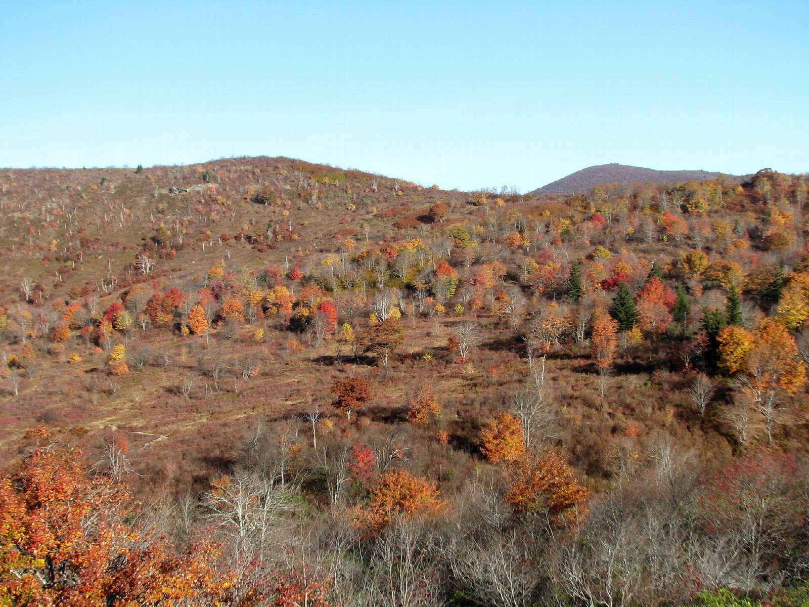
The car park holds about 20 cars and is often full by mid-morning; there are restrooms. The Parkway closes in ice and snow. Wild blueberries ripen in mid-August. The valley is named for the stumps and fallen trunks that once covered it like a graveyard.
Route drawn by Global Adventurer along OpenStreetMap paths (© OpenStreetMap contributors, ODbL), with figures worked out from it. Check the forecast and the ground on the day: paths change.
Good to know
- A high valley named for old stumps that once looked like gravestones
- Second Falls and Upper Falls on the Yellowstone Prong
- Wild blueberries in August; the small car park is often full
Getting there
Start: Graveyard Fields Overlook (Blue Ridge Parkway mile 418.8). 35.32018, -82.84718
Places to stay nearby
Rooms in and around Blue Ridge Mountains: Booking.com → Expedia →
Affiliate links: if you book, Global Adventurer earns a small commission at no cost to you.
Paths change, and the weather decides the day. The line and figures come from OpenStreetMap and our own checks; take a map, check the forecast, and turn back if it isn't right.