Line © OpenStreetMap contributors (ODbL), checked by Global Adventurer.
The hike
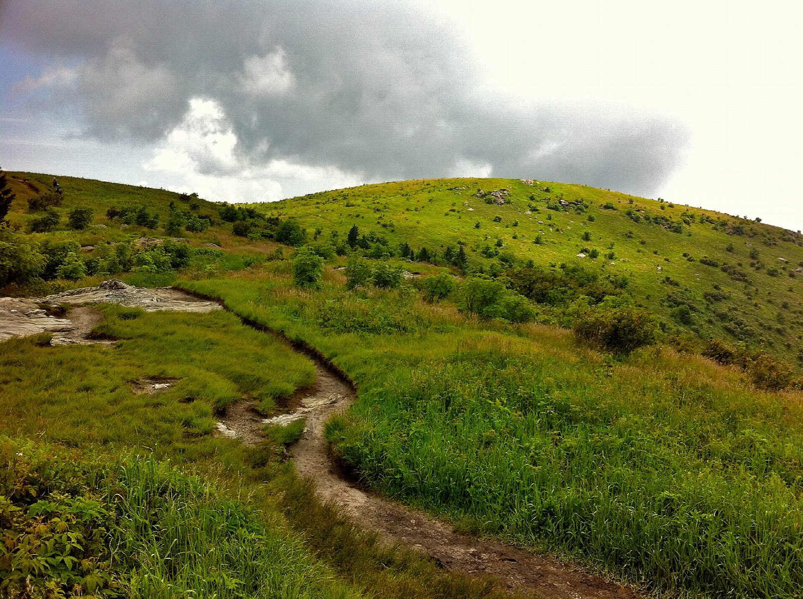
The walk starts where the Art Loeb Trail crosses Black Balsam Road (Forest Road 816), about halfway along the road from the Blue Ridge Parkway at milepost 420; park on the roadside. Take the Art Loeb Trail north. It climbs out of a belt of fir onto open grass and rock and reaches the top of Black Balsam Knob in under a mile. Keep on along the ridge, down and up again to Tennent Mountain, then down a sharp switchback to Ivestor Gap. Turn left on the Ivestor Gap Trail, an old road that runs level along the west side of the ridge and passes a spring. Near its end, take the Art Loeb Spur Trail up to the Art Loeb Trail and turn right, back down to the road.
It is 4.8 miles (7.8 km) around with 860 feet (261 m) of climbing; allow about 2½ hours. The grade is Easy: short climbs on rough, eroded paths, then an old road.
There is no shelter on the balds. They are dangerous in thunderstorms and high wind, and cold in any season. In fog the many side paths are confusing: keep to the main trail.
Parking is free and fills early on fine weekends. The Parkway closes in ice and snow, and the road with it. Dogs must be on a leash.
Route drawn by Global Adventurer along OpenStreetMap paths (© OpenStreetMap contributors, ODbL), with figures worked out from it. Check the forecast and the ground on the day: paths change.
Good to know
- Open grassy balds over 6,000 ft along the Art Loeb Trail
- No shelter on top: dangerous in thunderstorms, high wind and winter weather
- Reached from the Blue Ridge Parkway near milepost 420; parking fills on weekends
Summits on the way
- Black Balsam Knob 6,201 ft (1,890 m)
- Tennent Mountain 6,056 ft (1,846 m)
Getting there
Start: Art Loeb Trail roadside parking, Black Balsam Road. 35.32080, -82.87615
Places to stay nearby
Rooms in and around Art Loeb Trail roadside parking: Booking.com → Expedia →
Affiliate links: if you book, Global Adventurer earns a small commission at no cost to you.
Paths change, and the weather decides the day. The line and figures come from OpenStreetMap and our own checks; take a map, check the forecast, and turn back if it isn't right.