Line © OpenStreetMap contributors (ODbL), checked by Global Adventurer.
The walk
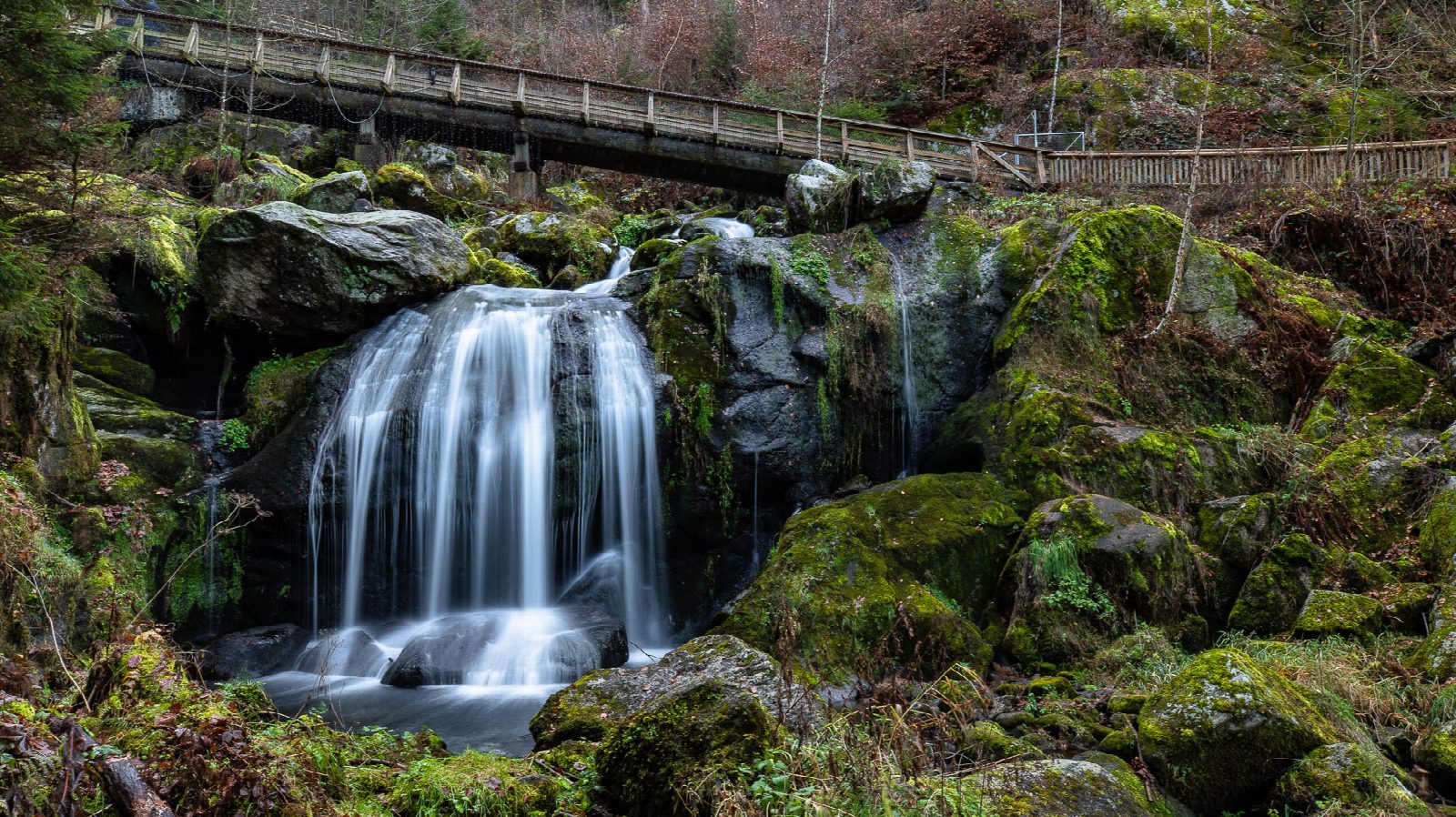
The walk starts at Triberg station, on the Black Forest Railway between Offenburg and Konstanz, and climbs through the town for about 2 km to the main entrance of the waterfalls at the top of the high street. Inside, a path with steps and footbridges climbs beside the seven steps of the main falls to the bridges above them. The line then leaves the water for a forest path along the south side, comes down into the upper town and returns to the station the way it came.
It is 6.2 km with 325 m of ascent; allow about 2½ hours. The grade is Easy, but the walk is uphill all the way from the station, and the steps by the falls are steep and wet.
The Gutach falls 163 m in all. They are not Germany's highest, whatever the town says, but probably its best known.
There is a charge to go in: €9 in summer 2026 and €7 in winter, from November to about April. The falls are open every day and lit until about 10 pm. In winter only the path from the main entrance to the first main fall is kept clear, and the rest can be closed for ice, snow or storm, so then the upper part of this walk cannot be done. Buses run from the station to the Marktplatz, by the entrance.
Route drawn by Global Adventurer along OpenStreetMap paths (© OpenStreetMap contributors, ODbL), with figures worked out from it. Check the forecast and the ground on the day: paths change.
Good to know
- The Gutach falls 163 m in all through the forest above the town, the main falls in seven steps
- There is an entrance fee, lower in winter, when only the path to the first main fall is kept clear
- The paths by the falls are lit until about 10 pm
- Triberg is on the Black Forest Railway between Offenburg and Konstanz
Getting there
Start: Triberg station. 48.14037, 8.23686
By train: Triberg station is 0.0 km from the start.
Places to stay nearby
Rooms in and around Triberg: Booking.com → Expedia →
Affiliate links: if you book, Global Adventurer earns a small commission at no cost to you.
Paths change, and the weather decides the day. The line and figures come from OpenStreetMap and our own checks; take a map, check the forecast, and turn back if it isn't right.
