Line © OpenStreetMap contributors (ODbL), checked by Global Adventurer.
The walk
The walk starts from the multi-storey car park at Feldberg-Ort, beside the Haus der Natur. It climbs to the Bismarck monument and the tower on the Seebuck, then follows the broad ridge over the Grüblesattel to the Feldberg, at 1,493 m the highest summit in Germany outside the Alps. The way round goes down past the St. Wilhelmer Hütte, along the north side by the Zastler and Baldenweger huts, then steeply down a narrow path to the Raimartihof. It returns along the shore of the Feldsee and up the Karl-Egon-Weg.
It is 13.1 km with 495 m of ascent; allow about 4½ hours. The grade is Moderate: good paths on top, rougher and steeper on the north side, where sure feet help.
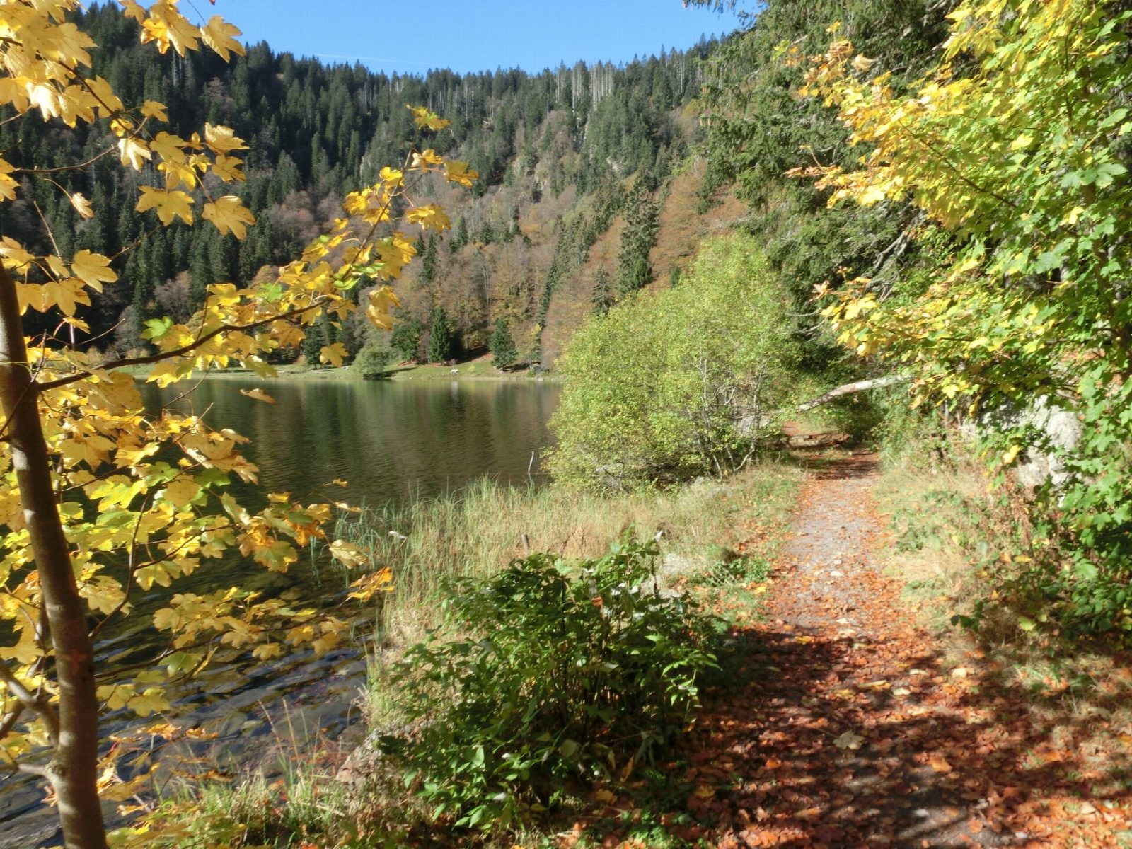
The summit is open grassland with a view, on a clear day, to the Alps and the Vosges. The Feldsee is a round glacial lake under a back wall up to 300 m high; swimming is not allowed, to protect a rare water plant. All of it is nature reserve, so keep to the paths.
The top is exposed and often windy. In winter the round is not walkable: snow lies deep and there is avalanche danger below the cornices after snowfall. Bus 7300 from Titisee and Feldberg-Bärental station stops at the Feldberger Hof; the car park is charged.
Route drawn by Global Adventurer along OpenStreetMap paths (© OpenStreetMap contributors, ODbL), with figures worked out from it. Check the forecast and the ground on the day: paths change.
Good to know
- The Feldberg, 1,493 m, is the highest summit in Germany outside the Alps
- Three farm inns on the north side: the St. Wilhelmer, Zastler and Baldenweger huts
- The Feldsee is a round glacial lake under a back wall up to 300 m high; swimming is not allowed, to protect a rare water plant
- The whole round is in a nature reserve: keep to the paths
Summits on the way
- Seebuck 1,449 m
- Feldberg 1,494 m
Getting there
Start: Feldberg multi-storey car park · Pay and display. 47.85866, 8.03652
Places to stay nearby
Rooms in and around Black Forest: Booking.com → Expedia →
Affiliate links: if you book, Global Adventurer earns a small commission at no cost to you.
Paths change, and the weather decides the day. The line and figures come from OpenStreetMap and our own checks; take a map, check the forecast, and turn back if it isn't right.
