Line © OpenStreetMap contributors (ODbL), checked by Global Adventurer.
The hike
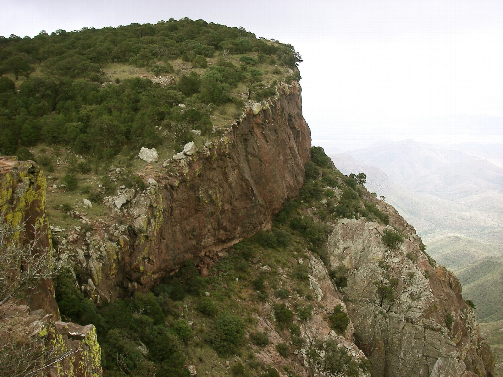
The walk starts at the Chisos Basin Trailhead, by the Basin store. Take the Laguna Meadow Trail, the more gradual of the two ways up, which climbs for about three and a half miles to Laguna Meadow and the Blue Creek Trail junction. The South Rim Trail leads on to the rim, with its view over the desert far into Mexico, and follows it east to the Boot Canyon Trail junction. Turn north down Boot Canyon, past Boot Spring and the Juniper Canyon Trail junction, to the pass where the Emory Peak Trail leaves. The Pinnacles Trail, steeper and with many log steps, drops from there to the Basin.
It is a 11.9-mile (19.2 km) loop with 2,230 feet (681 m) of climbing; allow about 6½ hours. The grade is Hard: a long mountain day on good trails, with no water on the way.
Carry all the water you will need, a litre for each hour: Boot Spring is not reliable and is usually dry. The East Rim Trail, a longer way round the rim that our line does not use, is closed in most years from February 1 to May 31 for nesting peregrine falcons.
The park charges $30 a vehicle, valid for seven days and paid by card. The two-year closure of the Chisos Basin that was planned from May 2026 has been cancelled.
Route drawn by Global Adventurer along OpenStreetMap paths (© OpenStreetMap contributors, ODbL), with figures worked out from it. Check the forecast and the ground on the day: paths change.
Good to know
- Up by Laguna Meadows to the edge of the Chisos, with views far into Mexico, and down by Boot Canyon
- The East Rim Trail, a longer way round, usually closes for nesting peregrine falcons from February 1 to May 31
- A long day with no reliable water: carry plenty and start early
Getting there
Start: Chisos Basin Trailhead. 29.27007, -103.30055
Places to stay nearby
Rooms in and around Big Bend: Booking.com → Expedia →
Affiliate links: if you book, Global Adventurer earns a small commission at no cost to you.
Paths change, and the weather decides the day. The line and figures come from OpenStreetMap and our own checks; take a map, check the forecast, and turn back if it isn't right.