Line © OpenStreetMap contributors (ODbL), checked by Global Adventurer.
The hike
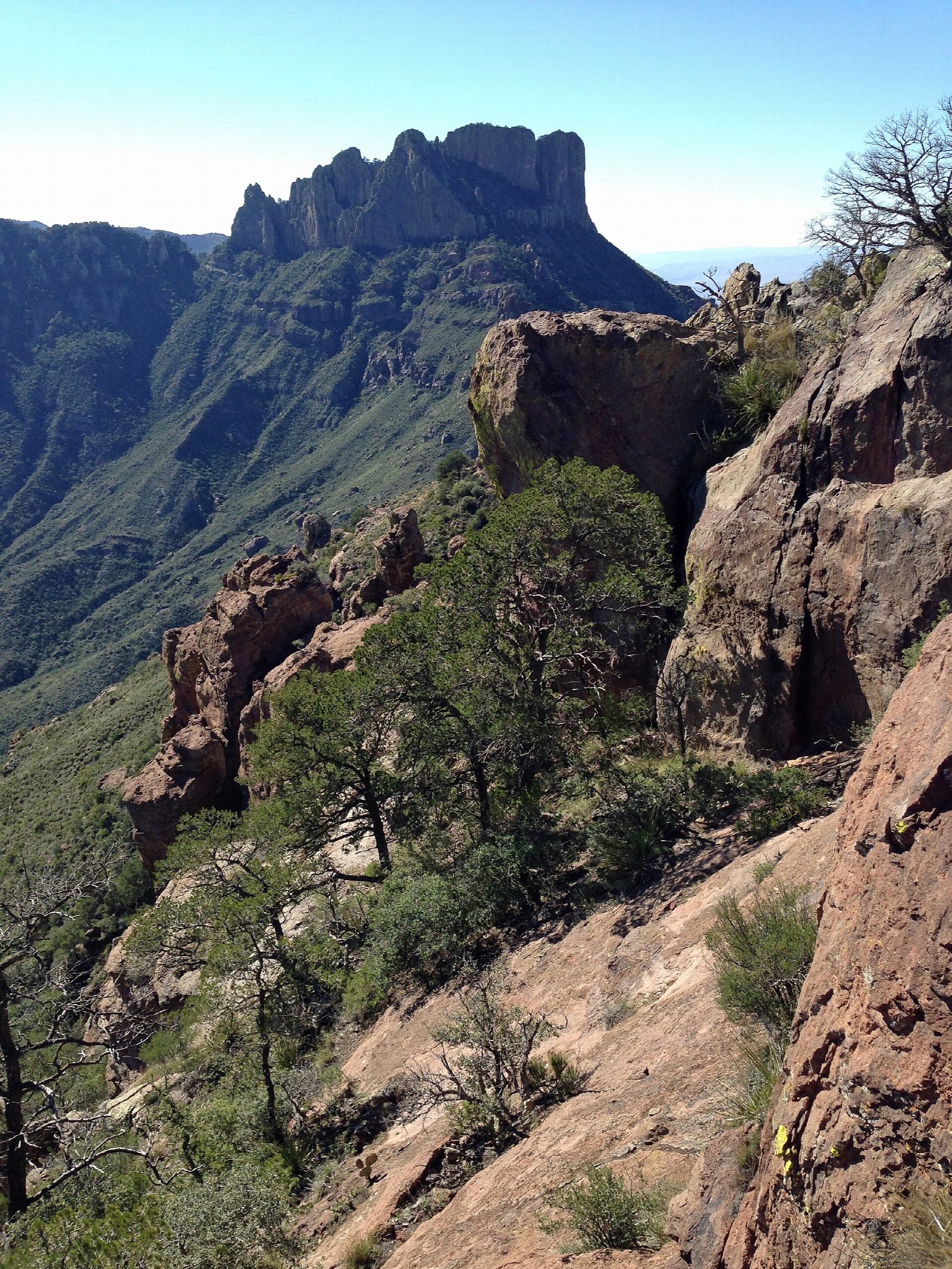
The walk starts at the Lost Mine Trailhead, about five miles up the Chisos Basin Road in Big Bend National Park. The trail climbs steadily through juniper, oak and pine to a saddle at about one mile, with views of Casa Grande and down Juniper Canyon; this makes a good turning point for a short walk. Beyond the saddle the trail climbs more steeply to a ridge and follows it to its end on bare rock, with views of Pine Canyon and the Sierra del Carmen in Mexico. Return the same way.
It is 4.7 miles (7.5 km) round trip with 990 feet (302 m) of climbing; allow about 2½ hours. The grade is Easy: a steady climb on a good trail, with little shade on the ridge.
The trailhead car park holds about 15 cars and often fills between 8 and 9 in the morning from November to April, so come early. This is mountain lion and black bear country: keep children close and never leave a pack unattended. Carry a litre of water for each person for each hour of walking. Pets are not allowed on the park's trails.
The park charges $30 a vehicle, valid for seven days and paid by card. The two-year closure of the Chisos Basin that was planned from May 2026 has been cancelled, and the Basin road is open.
Route drawn by Global Adventurer along OpenStreetMap paths (© OpenStreetMap contributors, ODbL), with figures worked out from it. Check the forecast and the ground on the day: paths change.
Good to know
- Up through juniper, oak and pine to a rocky ridge above Juniper Canyon and Pine Canyon
- The trailhead car park holds about 15 cars and fills early in the day
- Black bears and mountain lions live in the Chisos: keep children close
Getting there
Start: Lost Mine Trailhead. 29.27452, -103.28679
Places to stay nearby
Rooms in and around Big Bend: Booking.com → Expedia →
Affiliate links: if you book, Global Adventurer earns a small commission at no cost to you.
Paths change, and the weather decides the day. The line and figures come from OpenStreetMap and our own checks; take a map, check the forecast, and turn back if it isn't right.