Line © OpenStreetMap contributors (ODbL), checked by Global Adventurer.
The walk
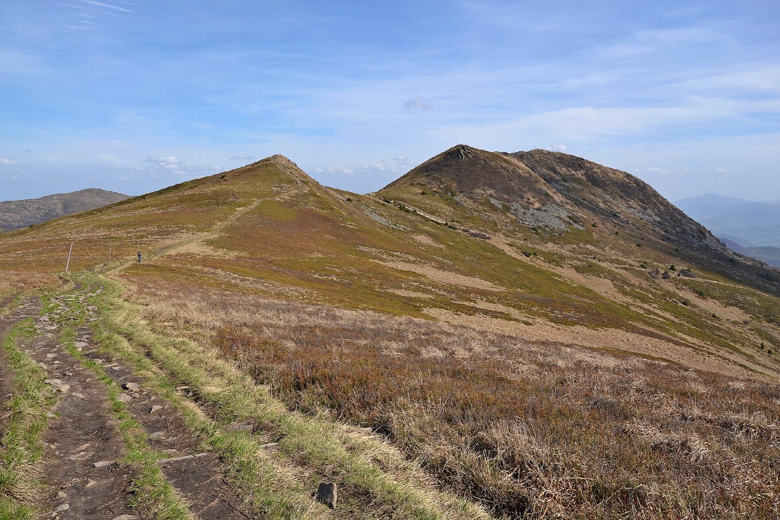
From the national park's car park in Wołosate, at the end of the road, walk east past the park's ticket booth on the blue path, up through beech forest and out onto the open grassland (połonina) below Tarnica. At Przełęcz pod Tarnicą a short, steep yellow path climbs to the summit, 1,346 m, the highest in the Polish Bieszczady, with its cross and wide views over the ridges. Return the same way.
It is 9.8 km there and back with 602 m of ascent; allow about 4½ hours. The grade is Moderate: a steady climb on a clay and stone path, steep at the end.
The clay path is very slippery after rain, and the park has been repairing it since 19 August 2026, so the line may change in places: follow the waymarks. In winter the open ground carries deep, drifted snow. Walking is allowed only from sunrise to sunset, and dogs are not allowed. Entry costs 11 zł (2026).
The park's car park costs 30 zł a day. In summer a bus runs to Wołosate from Wetlina and Ustrzyki Górne.
Route drawn by Global Adventurer along OpenStreetMap paths (© OpenStreetMap contributors, ODbL), with figures worked out from it. Check the forecast and the ground on the day: paths change.
Good to know
- Tarnica, 1,346 m, is the highest top of the Polish Bieszczady, with a cross on its summit
- From Wołosate the blue path climbs through beech forest to the open grassland of the połonina, then a short steep yellow path leads to the top
- The national park charges entry (11 zł in 2026) and allows walking only from sunrise to sunset
- The park has been repairing the path from Wołosate since 19 August 2026
Summits on the way
- Tarnica 1,346 m
Getting there
Start: Wołosate car park · Pay and display. 49.06561, 22.68001
Places to stay nearby
Rooms in and around Bieszczady: Booking.com → Expedia →
Affiliate links: if you book, Global Adventurer earns a small commission at no cost to you.
Paths change, and the weather decides the day. The line and figures come from OpenStreetMap and our own checks; take a map, check the forecast, and turn back if it isn't right.