Line © OpenStreetMap contributors (ODbL), checked by Global Adventurer.
The walk
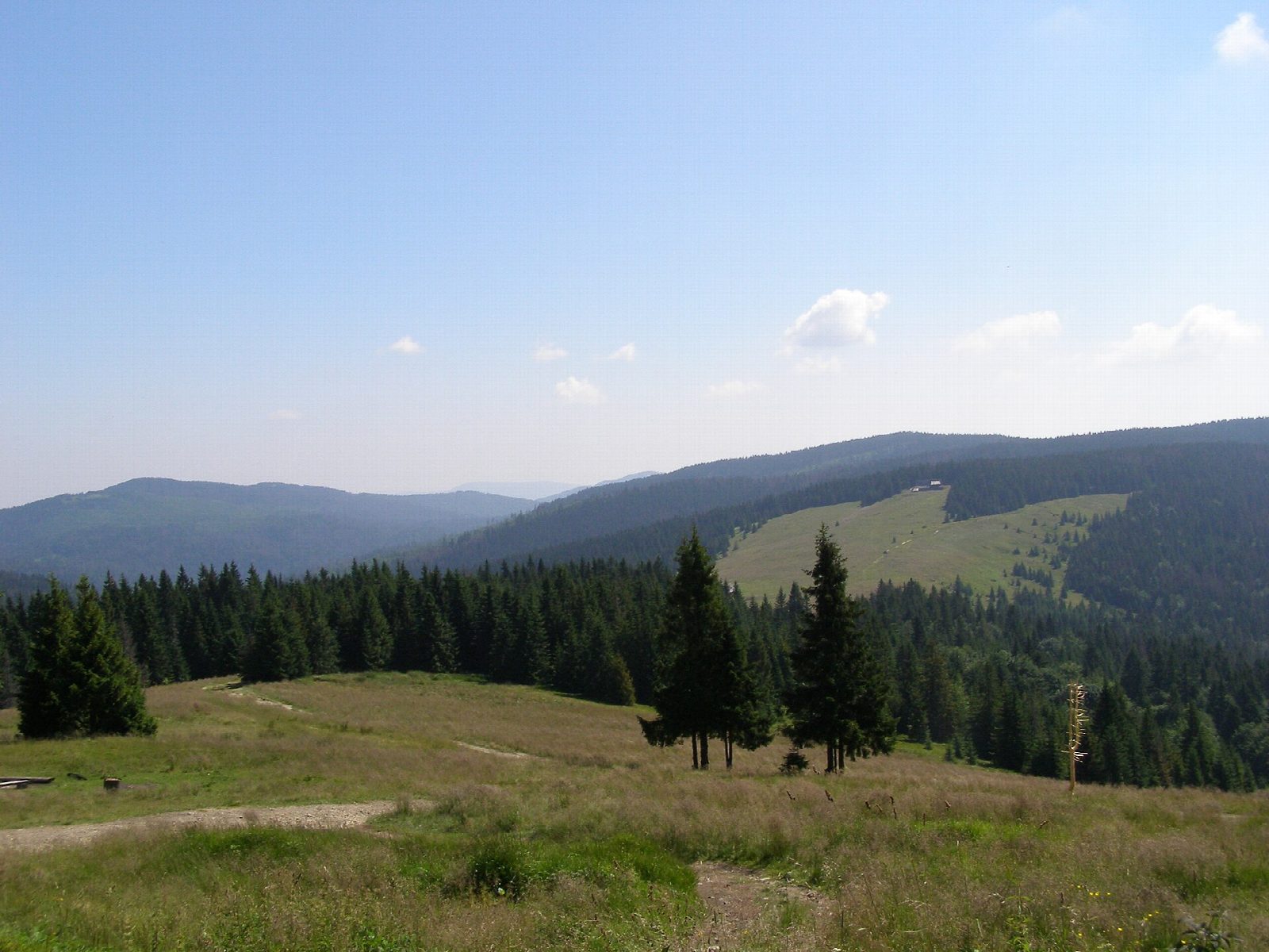
From the car park by the ski station in Koninki, walk up to the Gorce National Park entrance and take the blue path up through the forest, past the clearings of Oberówka, where the park allows camping, and Szałasisko, to Czoło Turbacza. Cross the open Hala Turbacz to the PTTK hostel; the summit of Turbacz, 1,310 m, the highest in the Gorce, is just beyond. Come back west along the ridge on the red path by Rozdziele to Obidowiec, then down the green path over Tobołów to Koninki.
It is 15.2 km with 708 m of ascent; allow about 5½ hours. The grade is Hard: a long climb on forest paths, with no exposure.
The park warns of steep climbs and slippery steps, and does not maintain its paths under snow. Entry costs 10 zł (2026), sold at the Koninki entrance and online. Dogs are not allowed on the blue path up. The park asks walkers to keep to the hours from an hour before sunrise to an hour after sunset.
The car parks in Koninki are run by local businesses and charge.
Route drawn by Global Adventurer along OpenStreetMap paths (© OpenStreetMap contributors, ODbL), with figures worked out from it. Check the forecast and the ground on the day: paths change.
Good to know
- Turbacz, 1,310 m, is the highest top of the Gorce, with the PTTK hostel just below it
- Up through the forest past the Oberówka and Szałasisko clearings, back along the ridge by Obidowiec and Tobołów
- Gorce National Park charges entry; tickets are sold at the Koninki entrance and online
- Dogs are not allowed on the blue path up
Summits on the way
- Suchy Groń 1,043 m · passed close by
- Czoło Turbacza 1,259 m · passed close by
- Turbacz 1,310 m · passed close by
- Rozdziele 1,188 m · passed close by
- Obidowiec 1,106 m · passed close by
Getting there
Start: Koninki car park · Pay and display. 49.58444, 20.08394
Places to stay nearby
Rooms in and around Beskids: Booking.com → Expedia →
Affiliate links: if you book, Global Adventurer earns a small commission at no cost to you.
Paths change, and the weather decides the day. The line and figures come from OpenStreetMap and our own checks; take a map, check the forecast, and turn back if it isn't right.