Line © OpenStreetMap contributors (ODbL), checked by Global Adventurer.
The walk
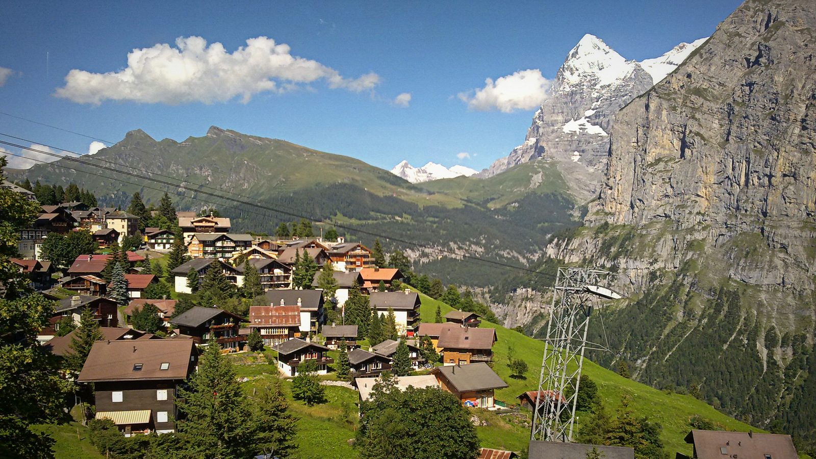
From Grütschalp, at the top of the cableway from Lauterbrunnen, the path follows the little mountain railway south through meadows and woods to Winteregg. The Eiger, Mönch and Jungfrau stand across the valley the whole way. It goes on beside the line into Mürren, then through the village and down a lane and path to Gimmelwald, a small farming village on the edge of the cliffs above the valley.
It is 8.2 km one way with 386 m of ascent and 486 m of descent; allow about 3½ hours. The grade is Moderate: paths, tracks and village lanes, with one steady descent to Gimmelwald.
Mürren and Gimmelwald have no road traffic. The railway stops at Winteregg, and Mürren has shops, cafés and hotels, so the walk is easy to shorten. In winter parts of the way are used for skiing and the path may be closed or snowbound; it is best from late spring to autumn.
Take the train to Lauterbrunnen and the cableway up to Grütschalp. At the end the Schilthorn cableway goes down from Gimmelwald to Stechelberg, where buses run back to Lauterbrunnen station. Drivers can park at Lauterbrunnen or Stechelberg.
Route drawn by Global Adventurer along OpenStreetMap paths (© OpenStreetMap contributors, ODbL), with figures worked out from it. Check the forecast and the ground on the day: paths change.
Good to know
- Mürren and Gimmelwald are car-free villages on a shelf about 800 m above the Lauterbrunnen valley
- The path from Grütschalp keeps close to the little railway to Mürren, looking across to the Eiger, Mönch and Jungfrau
- The cableway from Lauterbrunnen to Grütschalp and the Schilthorn cableway from Gimmelwald down to Stechelberg make it a one-way walk
Getting there
Start: Grütschalp station (cableway from Lauterbrunnen). 46.59656, 7.89071
By train: Grütschalp station is 0.0 km from the start.
Places to stay nearby
Rooms in and around Grütschalp: Booking.com → Expedia →
Affiliate links: if you book, Global Adventurer earns a small commission at no cost to you.
Paths change, and the weather decides the day. The line and figures come from OpenStreetMap and our own checks; take a map, check the forecast, and turn back if it isn't right.