Line © OpenStreetMap contributors (ODbL), checked by Global Adventurer.
The walk
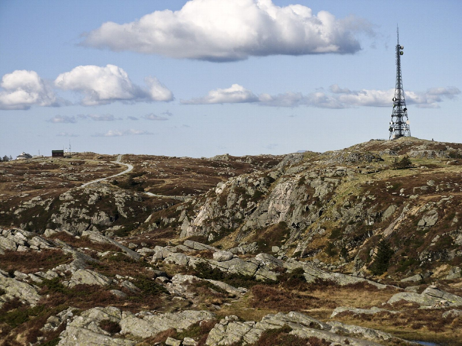
From the top of the Fløibanen funicular, roads and paths climb past Brushytten to Rundemanen, 568 m, with its tall mast. The path then heads east and south onto Vidden, the open, rocky upland between Bergen's mountains, and keeps along it for several kilometres past Langelifjellet before swinging west to the top of Ulriken, 643 m. A short descent leads to the upper station of the Ulriksbanen cable car.
It is 13.2 km with 693 m of ascent and 401 m of descent; allow about 5 hours. The grade is Moderate: a long walk on rough mountain paths, with short steep climbs but no scrambling.
Bergen og Hordaland Turlag lists the walk for every season but warns that in winter the way down from Ulriken is icy and very slippery; in snow the turlag calls it a fine ski tour.
Fløibanen runs up to Fløyen from Fisketorget, the fish market. From the top of Ulriken the cable car runs down to its lower station, where buses go to the city centre; or walk down by Skiveien to Montana.
Route drawn by Global Adventurer along OpenStreetMap paths (© OpenStreetMap contributors, ODbL), with figures worked out from it. Check the forecast and the ground on the day: paths change.
Good to know
- Across Vidden, the open plateau between two of Bergen's mountains, from Fløyen to Ulriken
- Up by the Fløibanen funicular from the fish market; down by the Ulriksbanen cable car or on foot
- In winter the way down from Ulriken is icy and very slippery
- Over Rundemanen on the way out, and Ulriken, 643 m, at the end
Summits on the way
- Nordre Midtfjellet 450 m · passed close by
- Rundemanen 568 m
- Langelifjellet · passed close by
- Ulriken 643 m
Getting there
Start: Fløyen. 60.39478, 5.34265
Places to stay nearby
Rooms in and around Bergen: Booking.com → Expedia →
Affiliate links: if you book, Global Adventurer earns a small commission at no cost to you.
Paths change, and the weather decides the day. The line and figures come from OpenStreetMap and our own checks; take a map, check the forecast, and turn back if it isn't right.