Line © OpenStreetMap contributors (ODbL), checked by Global Adventurer.
The walk
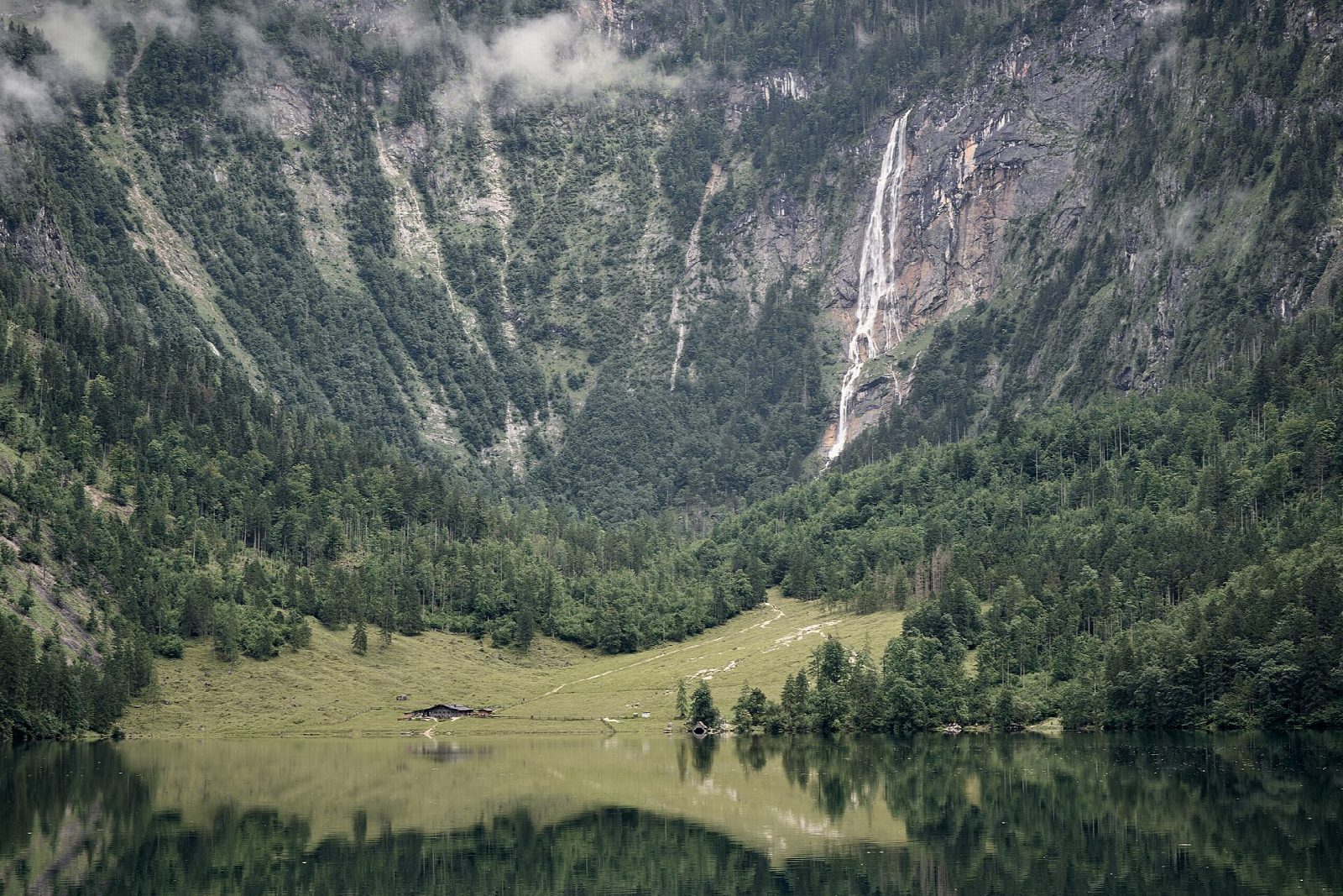
The walk starts where the boat lands, at Salet at the head of the Königssee: there is no other way in. A level path crosses the old moraine to the Obersee, and a narrow, rocky path with steps and a wire rope in places follows the right-hand shore to the Fischunkelalm, a summer dairy hut at the far end. Beyond it the valley path runs on through meadow and wood to end below the Röthbach waterfall. Return the same way.
It is 8.5 km there and back with 249 m of ascent; allow about 3 hours. The grade is Easy, though the shore path is worn and slippery when wet and no place for a pushchair.
The Obersee lies under rock walls on three sides. The Röthbach waterfall, usually given as about 470 m, is the highest in Germany.
The boats run from Schönau to Salet only from late April to mid-October: in 2026 from 25 April to 11 October. The trip takes about an hour each way and cost €29.80 return in 2026. Check the time of the last boat back before you set out, as nobody may stay overnight. This is Berchtesgaden National Park: keep to the paths, keep dogs on a lead, and fly no drones. Outside the boat season the walk cannot be done.
Route drawn by Global Adventurer along OpenStreetMap paths (© OpenStreetMap contributors, ODbL), with figures worked out from it. Check the forecast and the ground on the day: paths change.
Good to know
- Salet is reached only by the electric boats on the Königssee, about an hour from Schönau; they run to Salet from late April to mid-October
- The Obersee lies behind the old moraine at the head of the Königssee, under rock walls on three sides
- The Röthbach waterfall, usually given as about 470 m, is the highest in Germany
- In Berchtesgaden National Park: dogs on a lead, no drones, no camping
Getting there
Start: Salet boat landing, Königssee. 47.52517, 12.97300
Places to stay nearby
Rooms in and around Salet boat landing: Booking.com → Expedia →
Affiliate links: if you book, Global Adventurer earns a small commission at no cost to you.
Paths change, and the weather decides the day. The line and figures come from OpenStreetMap and our own checks; take a map, check the forecast, and turn back if it isn't right.