Line © OpenStreetMap contributors (ODbL), checked by Global Adventurer.
The walk
The walk starts from the pay car park at Hinterbrand, already at about 1,130 m above Schönau am Königssee. A forest path leads to the middle station of the Jenner cable car, and a forest road then runs towards the Königsbachalm before turning up at the Wasserfallalm on a gravel track to the Mitterkaseralm, a hut at 1,534 m. From there hairpins climb the old ski run to the top station at 1,800 m, and a steep, rocky path of about 20 minutes leads to the summit cross at 1,874 m. Return the same way.
It is 12.7 km there and back with 727 m of ascent; allow about 5½ hours. The grade is Moderate: mostly broad tracks, steady rather than steep until the last path.
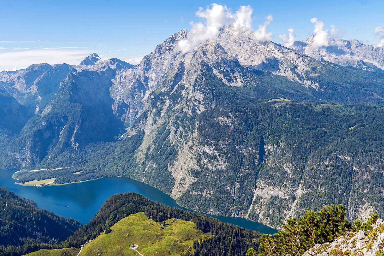
The Jenner looks down on the Königssee, about 1,200 m below, and across to the Watzmann.
The summit path is closed in winter because of the risk of a fall, and snow lies on the upper slopes outside June to October. The cable car runs daily from 9 am to 5 pm if you would rather ride down; in 2026 it closes for maintenance from 9 November and reopens in December. This is the edge of Berchtesgaden National Park, so keep dogs on a lead.
Route drawn by Global Adventurer along OpenStreetMap paths (© OpenStreetMap contributors, ODbL), with figures worked out from it. Check the forecast and the ground on the day: paths change.
Good to know
- The Jenner, 1,874 m, looks straight down on the Königssee and across to the Watzmann
- The start at Hinterbrand is already at about 1,130 m
- The last path to the summit from the cable car's top station is closed in winter
- The Jennerbahn runs from Königssee to just below the summit
Summits on the way
- Jenner 1,874 m
Getting there
Start: Hinterbrand car park · Pay and display. 47.59492, 13.02192
Places to stay nearby
Rooms in and around Berchtesgaden: Booking.com → Expedia →
Affiliate links: if you book, Global Adventurer earns a small commission at no cost to you.
Paths change, and the weather decides the day. The line and figures come from OpenStreetMap and our own checks; take a map, check the forecast, and turn back if it isn't right.
