Line © OpenStreetMap contributors (ODbL), checked by Global Adventurer.
The walk
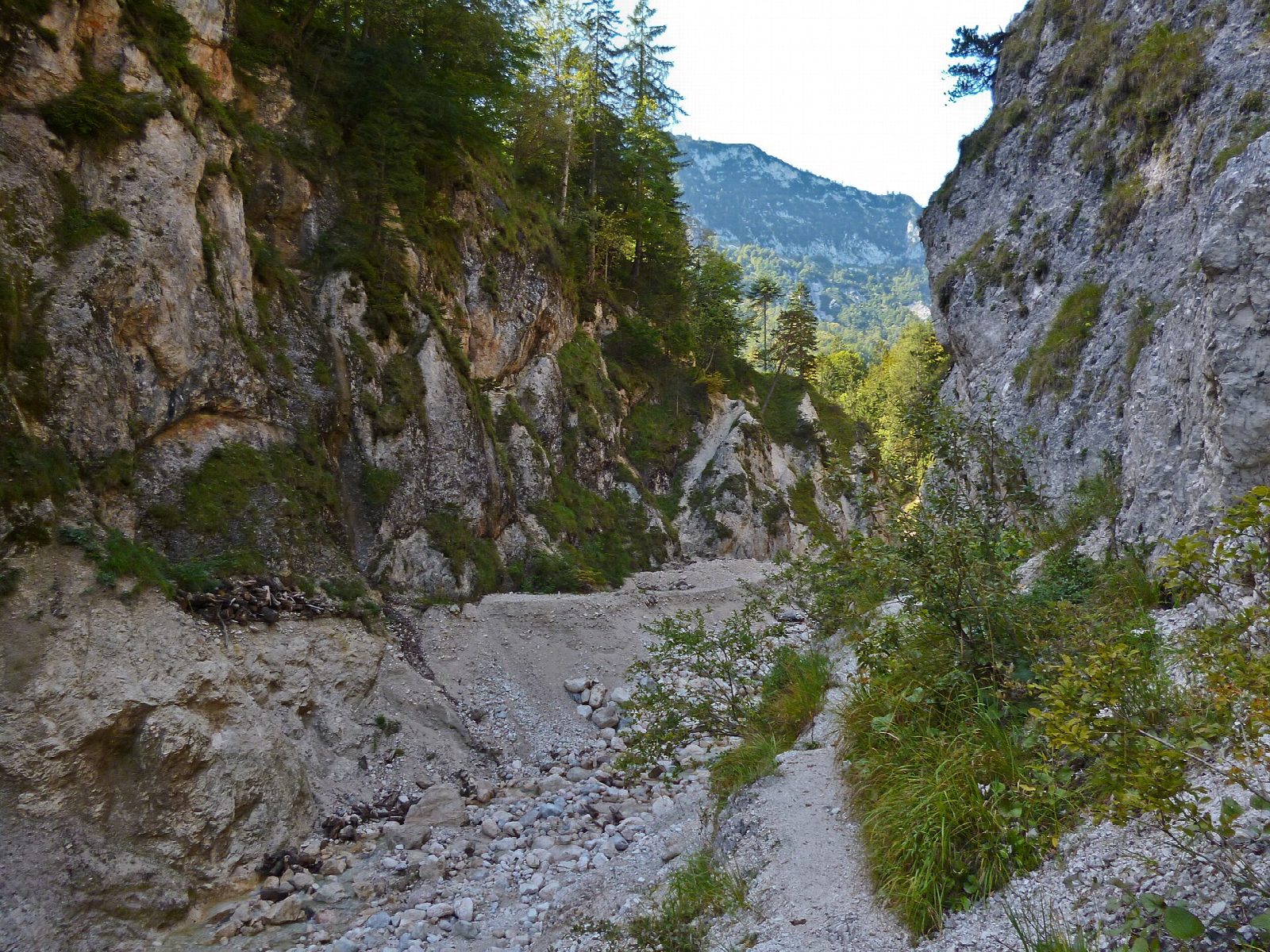
The walk starts from the free car park at the Kugelmühle near Marktschellenberg, the last working stone-ball mill in Germany. The gorge path, built by army pioneers in a single month in 1894, climbs beside the Almbach for nearly 3 km on 29 bridges and walkways, up 320 steps and through one tunnel only 1.6 m high, to the Theresienklause, a dam once used to float timber down the gorge. The line then comes back down the upper gorge, climbs out to the pilgrimage church of Ettenberg at 833 m, and drops by a steep path of hairpins to the mill.
It is 7 km with 415 m of ascent; allow about 3 hours. The grade is Moderate: all of it is on narrow mountain paths, with many steps.
The gorge is open from mid-April to early November, in 2026 from 17 April to 9 November, and costs €9 (children €6). It is wet even in dry weather, and after heavy rain it can be closed for days. Outside the season the gorge is shut and the walk cannot be done.
The Mesnerwirt inn stands beside the church at Ettenberg, at the high point of the walk. Buses between Berchtesgaden and Salzburg stop at the Kugelmühle.
Route drawn by Global Adventurer along OpenStreetMap paths (© OpenStreetMap contributors, ODbL), with figures worked out from it. Check the forecast and the ground on the day: paths change.
Good to know
- The gorge path has 29 bridges and walkways, 320 steps and one low tunnel; there is an entrance fee
- The gorge is open from mid-April to early November and closes after heavy rain
- The path was built in a month in 1894 by army pioneers; the Theresienklause at its head is a dam once used to float timber down the gorge
- The Kugelmühle at the start is the last working stone-ball mill in Germany, turning Untersberg marble into marbles by water power
Getting there
Start: Almbachklamm car park, Kugelmühle · Free parking. 47.67003, 13.03165
Places to stay nearby
Rooms in and around Almbachklamm car park: Booking.com → Expedia →
Affiliate links: if you book, Global Adventurer earns a small commission at no cost to you.
Paths change, and the weather decides the day. The line and figures come from OpenStreetMap and our own checks; take a map, check the forecast, and turn back if it isn't right.