Line © OpenStreetMap contributors (ODbL), checked by Global Adventurer.
The hike
The walk starts at the Tomales Point Trailhead at Pierce Point Ranch, at the end of Pierce Point Road. The trail passes the buildings of the old dairy ranch and follows an old ranch road north along the crest of the peninsula, with the Pacific on the left and Tomales Bay on the right. It dips to Windy Gap and after 3 miles reaches the site of Lower Pierce Ranch, by a pond. Beyond there the trail is not maintained: a sandy, often overgrown path runs the last 1.7 miles to the bluff at Tomales Point. Return the same way.
It is 9.4 miles (15.2 km) round trip with 1,100 feet (336 m) of climbing; allow about 4½ hours. The grade is Moderate: an open, rolling ranch road, then soft sand; many walkers turn back at Lower Pierce Ranch, a 6-mile round trip.
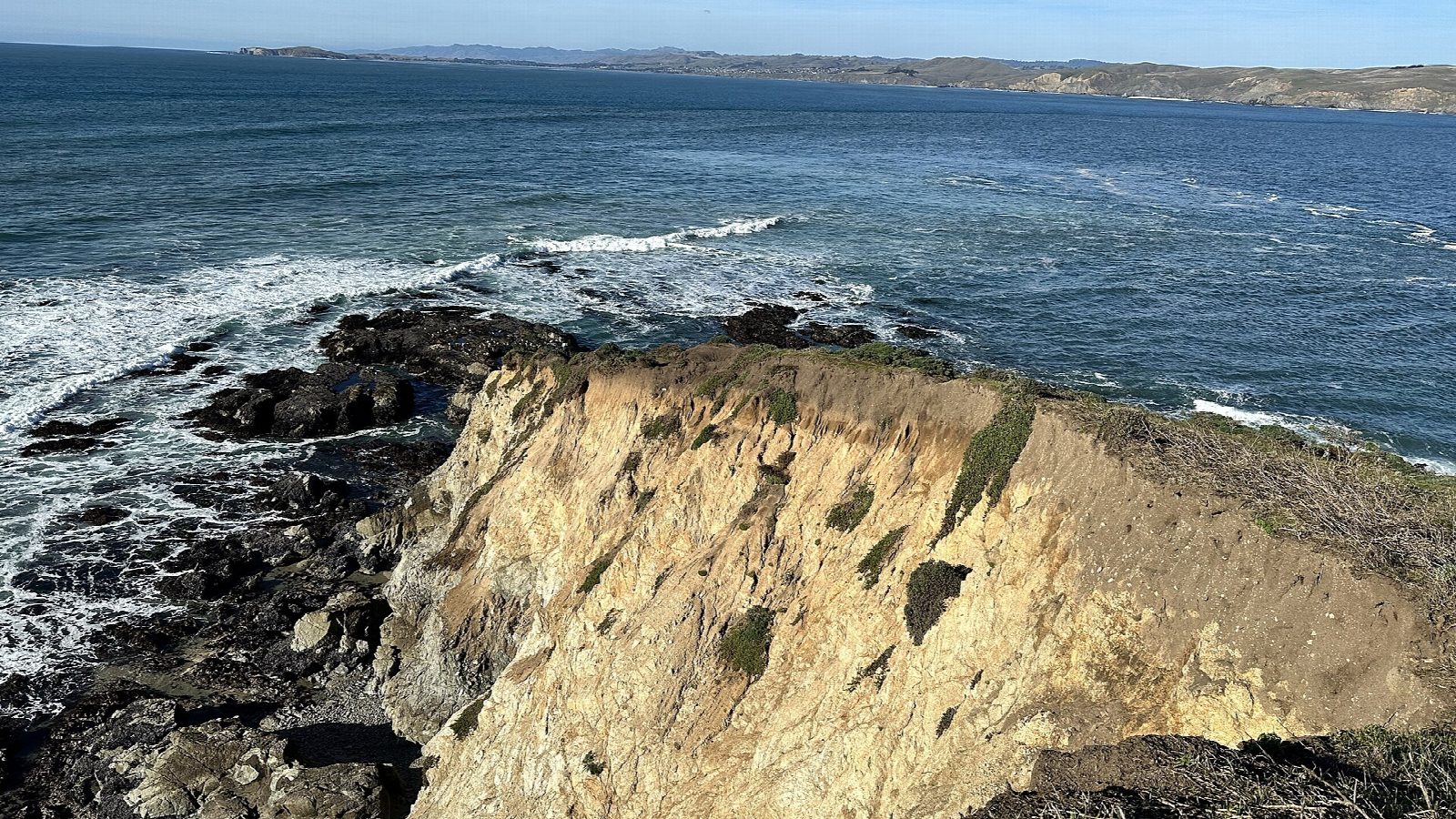
This is the tule elk's range. Keep your distance, above all in the rut from August to October: if an elk looks up or moves away, you are too close. The bluffs are unstable, and part of the one at the point fell without warning in 2017, so stay well back from every edge. Expect wind and fog. There is no drinking water. Pets are not allowed.
The dirt lot is small and may be full by 10 am on busy days. Parking is free.
Route drawn by Global Adventurer along OpenStreetMap paths (© OpenStreetMap contributors, ODbL), with figures worked out from it. Check the forecast and the ground on the day: paths change.
Good to know
- Along a headland between Tomales Bay and the Pacific, home to tule elk
- Starts at Pierce Point Ranch, a 19th-century dairy farm
- Wind and fog are common; the path turns sandy towards the point
Getting there
Start: Tomales Point Trailhead · Free parking. 38.18908, -122.95402
Places to stay nearby
Rooms in and around Bay Area and Big Sur: Booking.com → Expedia →
Affiliate links: if you book, Global Adventurer earns a small commission at no cost to you.
Paths change, and the weather decides the day. The line and figures come from OpenStreetMap and our own checks; take a map, check the forecast, and turn back if it isn't right.