Line © OpenStreetMap contributors (ODbL), checked by Global Adventurer.
The hike
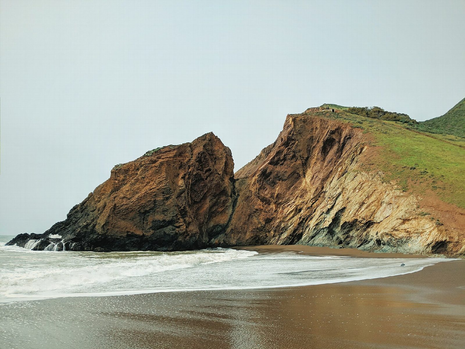
The walk starts at the Tennessee Valley Trailhead, at the end of Tennessee Valley Road near Mill Valley. The trail is paved for the first three quarters of a mile, then becomes a wide dirt road down the valley floor between grassy hills. Where it divides, this route takes the lower branch along the bottom of the valley, a footpath; the upper one climbs over a rise, and the two meet again above a small lagoon. The last stretch runs past the lagoon to Tennessee Beach, 1.7 miles from the start. Return the same way.
It is 3.5 miles (5.6 km) round trip with 210 feet (64 m) of climbing; allow about 1½ hours. The grade is Easy: wide and nearly level, with a gentle climb on the way back.
There is no drinking water in Tennessee Valley; there are restrooms at the parking area and near the beach. Dogs are not allowed on this trail. The coast can turn windy, foggy and cold very quickly. On the beach, take care not to be cut off by a rising tide. The cove is named for the steamship Tennessee, wrecked here in 1853.
Parking is free, but the lot fills early on weekend mornings. The parking area is open from sunrise to sunset.
Route drawn by Global Adventurer along OpenStreetMap paths (© OpenStreetMap contributors, ODbL), with figures worked out from it. Check the forecast and the ground on the day: paths change.
Good to know
- An easy walk down a quiet Marin Headlands valley to a small beach cove
- Remains of the steamship Tennessee, wrecked in 1853, surface at very low tides
- The car park fills early on weekend mornings
Getting there
Start: Tennessee Valley Trailhead · Free parking. 37.86047, -122.53588
Places to stay nearby
Rooms in and around Bay Area and Big Sur: Booking.com → Expedia →
Affiliate links: if you book, Global Adventurer earns a small commission at no cost to you.
Paths change, and the weather decides the day. The line and figures come from OpenStreetMap and our own checks; take a map, check the forecast, and turn back if it isn't right.

