Line © OpenStreetMap contributors (ODbL), checked by Global Adventurer.
The hike
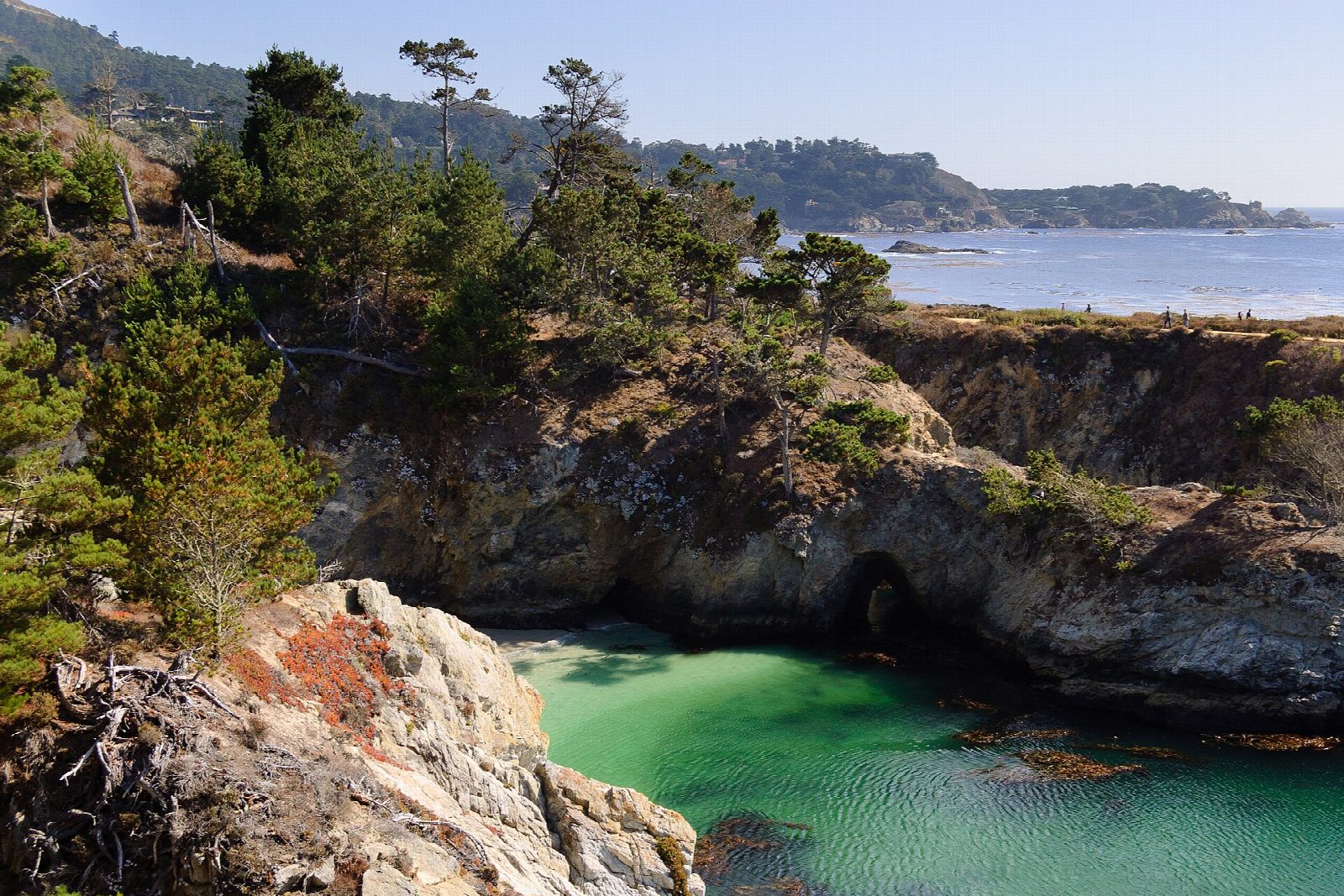
The walk starts at the entrance station of Point Lobos State Natural Reserve, on Highway 1 south of Carmel. Take the Carmelo Meadow Trail down to Whalers Cove, then the North Shore Trail, which climbs over rocky headlands past Guillemot Island. At the Sea Lion Point parking area, walk the Cypress Grove Trail round its headland, then go out to Sea Lion Point. The South Shore Trail follows the low, rocky shore past Weston Beach to the Bird Island parking area. From there the Bird Island Trail passes above China Cove and Gibson Beach. Return to the entrance by the South Plateau Trail.
It is a 4.7-mile (7.5 km) loop with 470 feet (142 m) of climbing; allow about 2½ hours. The grade is Easy: short stretches of trail joined end to end, with many steps on the North Shore Trail.
Stay on the trails and back from the cliff edges, and watch for large waves and poison oak. Dogs are not allowed anywhere in the reserve, even in a car. The stairs to the shore at Sea Lion Point are no longer open.
The reserve is open from 8 am to 7 pm, with last entry at 6:30 pm, and charges $10 a vehicle. Parking inside is limited to 150 vehicles, so arrive early or late, or park legally outside and walk in.
Route drawn by Global Adventurer along OpenStreetMap paths (© OpenStreetMap contributors, ODbL), with figures worked out from it. Check the forecast and the ground on the day: paths change.
Good to know
- Cypress groves, sea lions and turquoise coves at the northern gateway to Big Sur
- Parking inside is limited: arrive early or late, or walk in from Highway 1
- A day-use fee is charged; stay on the trails, the reserve protects fragile ground
Summits on the way
- Cannery Point · passed close by
- Sand Hill 98 ft (30 m) · passed close by
- Vierras Knoll 164 ft (50 m) · passed close by
- Rat Hill 144 ft (44 m) · passed close by
Getting there
Start: Point Lobos entrance station. 36.51591, -121.93849
Places to stay nearby
Rooms in and around Bay Area and Big Sur: Booking.com → Expedia →
Affiliate links: if you book, Global Adventurer earns a small commission at no cost to you.
Paths change, and the weather decides the day. The line and figures come from OpenStreetMap and our own checks; take a map, check the forecast, and turn back if it isn't right.

