Line © OpenStreetMap contributors (ODbL), checked by Global Adventurer.
The hike
The walk starts at Pantoll, the ranger station and parking lot on Panoramic Highway in Mount Tamalpais State Park. Cross the highway at the lot entrance to the Old Stage Road, a wide fire road shared with bicycles. It climbs gently past the Easy Grade junction to the West Point Inn, 1.9 miles in, built in 1904 for the mountain railway. From the inn take the Old Railroad Grade, the bed of that railway, which climbs steadily for about 1.5 miles to Ridgecrest Boulevard. Follow the road east to the East Peak parking lot, then climb the short, rocky Plank Walk Trail to Gardner Lookout on the summit, at 2,571 feet. Return the same way.
It is 8.0 miles (12.9 km) round trip with 1,110 feet (338 m) of climbing; allow about 4 hours. The grade is Moderate: fire roads on an easy gradient, with a rough path to finish.
The West Point Inn has drinking water and restrooms, and East Peak has restrooms. Dogs are not allowed on the park's trails or fire roads. Watch for cyclists on the fire roads, and for poison oak, ticks and rattlesnakes beside them. Fog is common and can hide the view.
The park is open from 7 am to sunset. Pantoll's parking lot charges a fee and fills early at weekends.
Route drawn by Global Adventurer along OpenStreetMap paths (© OpenStreetMap contributors, ODbL), with figures worked out from it. Check the forecast and the ground on the day: paths change.
Good to know
- Up the Old Stage Road to the 1904 West Point Inn, then the old railway grade
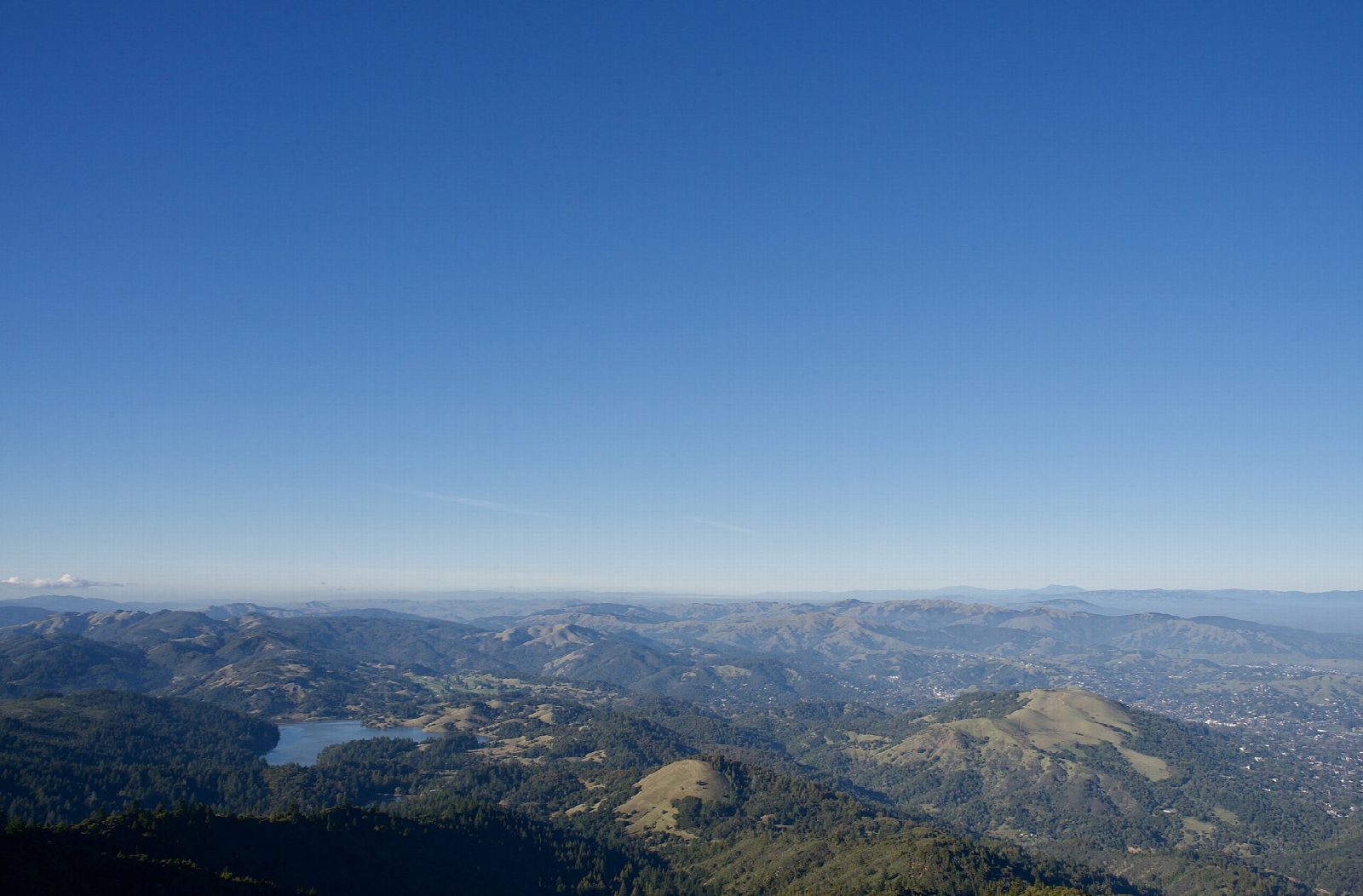
- East Peak has a staffed fire lookout and a view over the whole Bay Area
- Pantoll's car park charges a fee; coastal fog can hide the views
Summits on the way
- Mount Tamalpais West Point 1,729 ft (527 m) · passed close by
- Mount Tamalpais East Peak 2,572 ft (784 m)
Getting there
Start: Pantoll · Parking fee. 37.90356, -122.60426
Places to stay nearby
Rooms in and around Bay Area and Big Sur: Booking.com → Expedia →
Affiliate links: if you book, Global Adventurer earns a small commission at no cost to you.
Paths change, and the weather decides the day. The line and figures come from OpenStreetMap and our own checks; take a map, check the forecast, and turn back if it isn't right.
