Line © OpenStreetMap contributors (ODbL), checked by Global Adventurer.
The hike
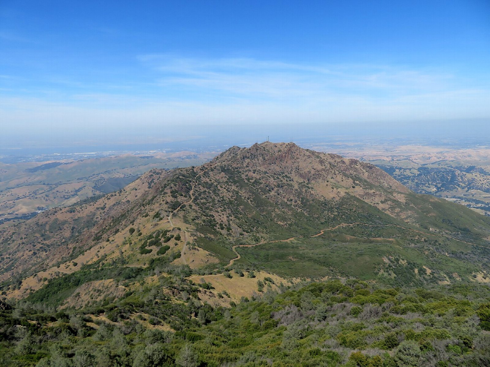
The walk starts at the Mitchell Canyon Staging Area, at the end of Mitchell Canyon Road in Clayton. Mitchell Canyon Road, here a fire road, runs gently up the canyon floor for about two miles, then climbs in long switchbacks to Deer Flat. From Deer Flat follow the fire roads signed for Juniper Campground, Meridian Ridge Road and then Deer Flat Road. Walk through the campground to the Juniper Trail, which climbs the ridge to the lower summit parking lot. The Summit Trail leads on to the top, at 3,849 feet: the summit rock is inside the visitor center. Return the same way.
It is 13.8 miles (22.2 km) round trip with 3,140 feet (958 m) of climbing; allow about 8 hours. The grade is Strenuous: very long, with some steep stretches, and little shade above the canyon.
Summer is hot and dry, so start early and carry plenty of water; there is water at the staging area. Watch for poison oak. Dogs are not allowed on the trails or fire roads. In extreme fire danger the park may restrict access or close.
Mitchell Canyon charges $6 a vehicle, in cash or by check only. The gates open at 8 am and close at sunset: be back in time, or your car will be locked in.
Route drawn by Global Adventurer along OpenStreetMap paths (© OpenStreetMap contributors, ODbL), with figures worked out from it. Check the forecast and the ground on the day: paths change.
Good to know
- On a clear day the summit view reaches the Sierra Nevada
- The stone summit building was built in the late 1930s and early 1940s
- Mitchell Canyon charges a day-use fee; summer is hot and dry, spring has wildflowers
Summits on the way
- Mount Diablo 3,848 ft (1,173 m)
Getting there
Start: Mitchell Canyon Staging Area · Parking fee. 37.92092, -121.94140
Places to stay nearby
Rooms in and around Bay Area and Big Sur: Booking.com → Expedia →
Affiliate links: if you book, Global Adventurer earns a small commission at no cost to you.
Paths change, and the weather decides the day. The line and figures come from OpenStreetMap and our own checks; take a map, check the forecast, and turn back if it isn't right.

